Council Bluffs in Pottawattamie County, Iowa — The American Midwest (Upper Plains)
The Grand Encampment
Aug 2006
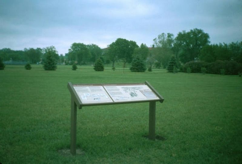
1. Grand Encampment Marker
At the Grand Encampment, 490 men, 12 boys and 20 women joined the Mormon Battalion. The Grand Encampment was the gathering Point for Mormon Wagon Trains, 1846.
During the spring and summer of 1846, many pioneer companies of The Church of Jesus Christ of Latter-day Saints (the Mormons) assembled at the Grand Encampment. Here they prepared for their westward trek to the valley of the Great Salt Lake. Thousands of tents and covered wagons were scattered over nine miles of prairie along what is now State Highway 92. These shelters provided temporary housing for nearly ten thousand people. The tents were groups into great squares, with wagons and sometimes split-rail fences surrounding and protecting them. One of the wagons served as a post office, and a tent functioned as a newspaper reading room. The tent of Church President Brigham Young was identified by a large American flag hung from a pole.
Everyone had important responsibilities at the Grand Encampment. Boys tended large herds of cattle, oxen, horses, mules, and sheep in the lowlands. Women and their daughters washed clothes, tended small children, and prepared
this page online
Several of the Mormon bishops served as the first justices of the peace in Pottawattamie County. By the end of August 1846, this vast tent city was gone. Some pioneers crossed the Missouri River to prepare for their trip west. Others settled temporarily into more than eighty communities scattered throughout southwestern Iowa, where new sources of wood, water, and grass could sustain them and their livestock until they began their journey.
Erected 1994 by The Church of Jesus Christ of Latter-day Saints.
Topics. This historical marker is listed in these topic lists: Religion & Religious Structures • Settlements & Settlers • War, Spanish-American. A significant historical month for this entry is August 1846.
Location. 41° 13.537′ N, 95° 49.367′ W. Marker is in Council Bluffs, Iowa, in Pottawattamie County. It is at the intersection of Harry Langdon Boulevard and Iowa School for Deaf Drive when traveling west on Harry Langdon Boulevard. Touch for map. Marker is at or near this postal address: 3501 Harry Langdon Blvd, Council Bluffs IA 51503, United States of America. Touch for directions.

Regionally, this marker is in Western Iowa, in Loess Hills, and in Greater Omaha. It is also in the American Midwest, in the Lewis & Clark Corridor, and in the Corn Belt. Globally, it is in North America, the Western Hemisphere, the Western World, and the Anglosphere. Historically, it finds itself in what was once the territory of the Mississippian Culture and also the Louisiana Purchase.
Other nearby markers. At least 8 other markers are within 3 miles of this marker, measured as the crow flies: Mormon Battalion Mustering Grounds (here, next to this marker); "Freedom With Honor" (approx. 2.1 miles away); Chicago, Rock Island & Pacific Railroad Depot (approx. 2.1 miles away); The National Humane Alliance Fountain (approx. 2.6 miles away); Grenville M. Dodge (approx. 2.7 miles away); Squirrel Cage Jail (approx. 2.7 miles away); Council Bluffs Free Public Library (approx. 2.7 miles away); Council Bluffs Veterans Plaza (approx. 2.7 miles away). Touch for a list and map of all markers in Council Bluffs.
Another marker is no longer nearby. The Historic General Dodge House (was approx. 2.4 miles away but has been confirmed missing).
Credits. This page was last revised on March 1, 2026. It was originally submitted on February 11, 2026. This page has been viewed 57 times since then. Photo 1. submitted on September 20, 2009. • Devry Becker Jones was the editor who published this page.
Editor’s want-list for this marker. A legible, closeup photo of the marker • Can you help?
