Near Perry in Falls County, Texas — The American South (West South Central)
Perry United Methodist Church
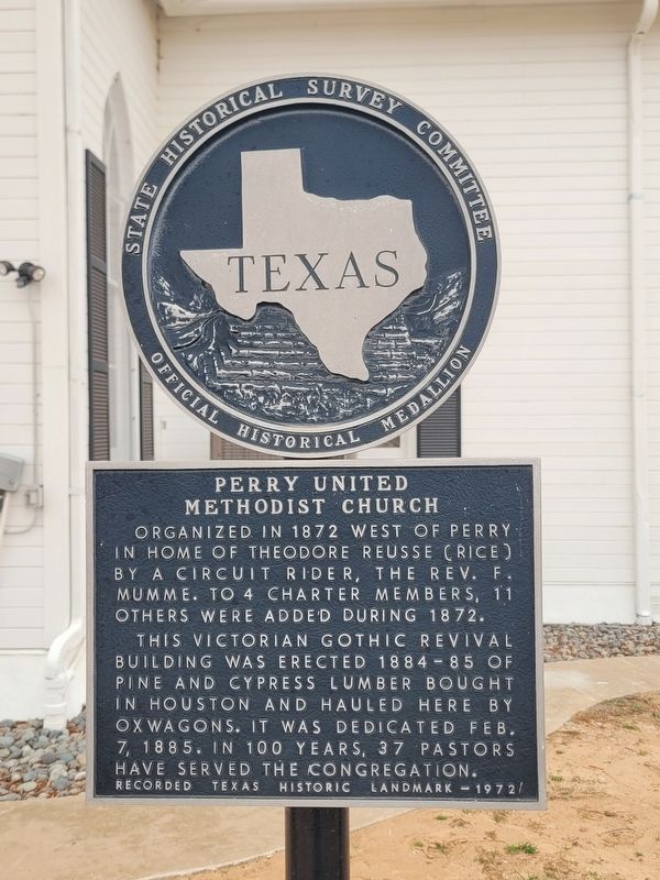
Photographed by James Hulse, February 10, 2026
1. Perry United Methodist Church Marker
Erected 1972 by State Historical Survey Committee. (Marker Number 3991.)
Topics. This historical marker is listed in this topic list: Religion & Religious Structures. A significant historical date for this entry is February 7, 1885.
Location. 31° 26.083′ N, 96° 53.47′ W. Marker is near Perry, Texas, in Falls County. It is on Perry Methodist Road (County Road 127) 0.2 miles north of Farm to Market Road 1240, on the left when traveling north. Touch for map. Marker is at or near this postal address: 193 CR 127, Riesel TX 76682, United States of America. Touch for directions.

Regionally, this marker is in the Prairies & Lakes Region. Globally, it is in North America, a Gulf of Mexico state, the Western Hemisphere,
this page online
Other nearby markers. At least 8 other markers are within 4 miles of this marker, measured as the crow flies: Trinity Lutheran Church (approx. 1.2 miles away); Judge Albert G. and Harriet Elizabeth Grimes Perry (approx. 2.8 miles away); Indian Battlefield (approx. 2.8 miles away); Site of St. Paul School (approx. 3.3 miles away); Friedens Evangelical & Reformed United Church of Christ (approx. 3.4 miles away); Riesel (approx. 3.4 miles away); Friedens Cemetery (approx. 3.6 miles away); St. Paul United Church of Christ (approx. 3.8 miles away). Touch for a list and map of all markers in Perry.
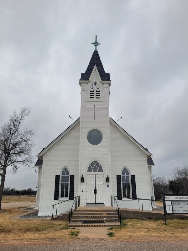
Photographed by James Hulse, February 10, 2026
2. Perry United Methodist Church
The front view of the church.
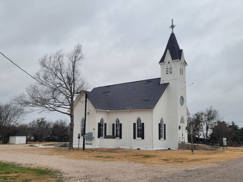
Photographed by James Hulse, February 10, 2026
3. Perry United Methodist Church Marker
The marker is located along the back side of the church.
Credits. This page was last revised on February 12, 2026. It was originally submitted on February 12, 2026, by James Hulse of Medina, Texas. This page has been viewed 70 times since then. Photos: 1, 2, 3. submitted on February 12, 2026, by James Hulse of Medina, Texas.
