Near Thornton in Limestone County, Texas — The American South (West South Central)
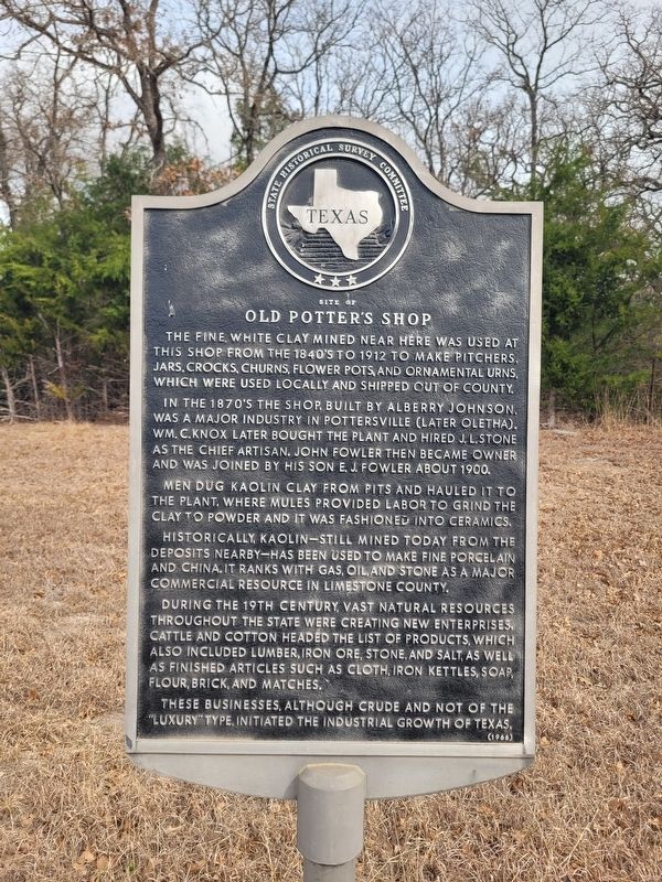
Site of Old Potter's Shop
Photographed by James Hulse, February 10, 2026
1. Site of Old Potter's Shop Marker
In the 1870's the shop, built by Alberry Johnson, was a major industry in Pottersville (later Oletha). Wm. C. Knox later bought the plant and hired J. L. Stone as the chief artisan. John Fowler then became owner and was joined by his son E. J. Fowler about 1900.
Men dug kaolin clay from pits and hauled it to the plant, where mules provided labor to grind the clay to powder and it was fashioned into ceramics.
Historically, kaolin—still mined today from the deposits nearby — has been used to make fine porcelain and china. It ranks with gas, oil, and stone as a major commercial resource in Limestone County.
During the 19th century, vast natural resources throughout the state were creating new enterprises. Cattle and cotton headed the list of products, which also included lumber, iron ore, stone, and salt, as well as finished articles such as cloth, iron kettles, soap, flour, brick, and matches.
These businesses,
this page online
Erected 1968 by State Historical Survey Committee. (Marker Number 3784.)
Topics. This historical marker is listed in these topic lists: Industry & Commerce • Settlements & Settlers. A significant historical year for this entry is 1912.
Location. 31° 21.894′ N, 96° 26.35′ W. Marker is near Thornton, Texas, in Limestone County. It is at the intersection of Farm to Market Road 1246 and County Road 758, on the left when traveling east on Road 1246. Touch for map. Marker is at or near this postal address: 4821 FM 1246, Thornton TX 76687, United States of America. Touch for directions.

Regionally, this marker is in the Prairies & Lakes Region. It is also in the American South. Globally, it is in North America, a Gulf of Mexico state, the Western Hemisphere, the Western World, and the Anglosphere. Historically, it finds itself in what was once New Spain, the Republic of Texas, one of the Confederate States of America, and the Antebellum South.
Other nearby markers. At least 8 other markers are within 5 miles of this marker, measured
Photographed by James Hulse, February 10, 2026
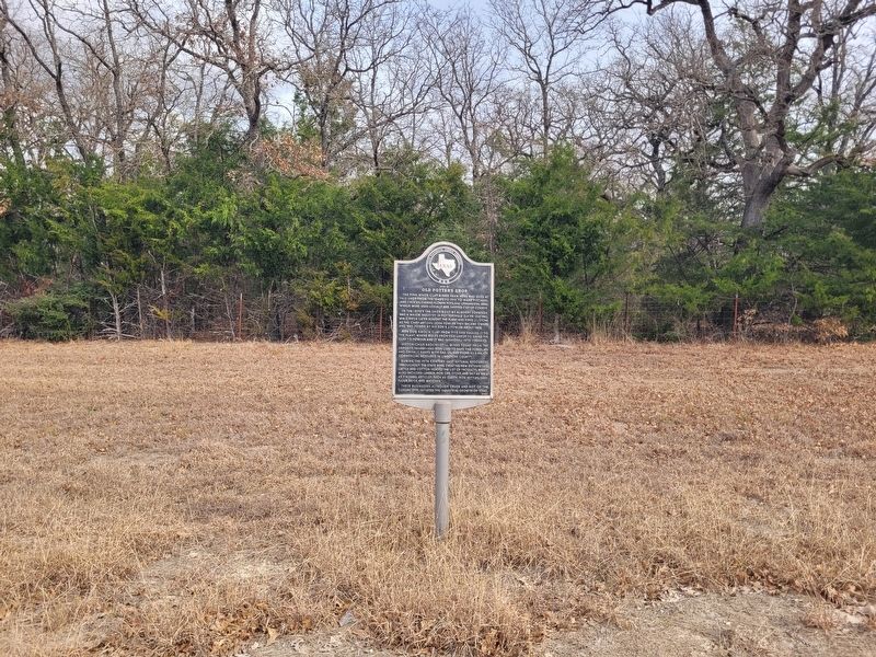
2. Site of Old Potter's Shop Marker
Photographed by James Hulse, February 10, 2026
3. Site of Old Potter's Shop Marker
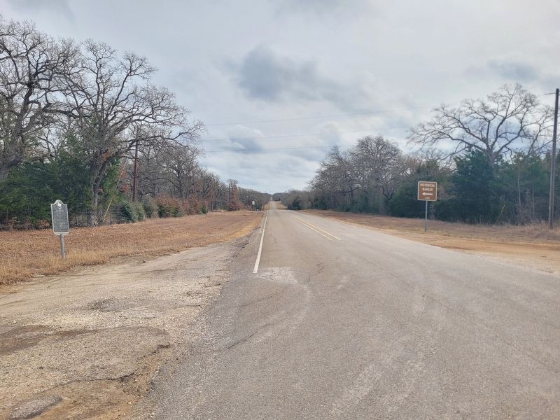
The view of the marker from the street.
Credits. This page was last revised on February 12, 2026. It was originally submitted on February 12, 2026, by James Hulse of Medina, Texas. This page has been viewed 112 times since then. Photos: 1, 2, 3. submitted on February 12, 2026, by James Hulse of Medina, Texas.
