Near Yoakum in DeWitt County, Texas — The American South (West South Central)
Terryville
Photographed by Dave W, February 14, 2026
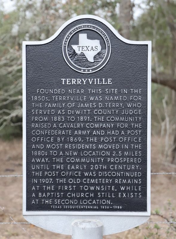
1. Terryville Marker
Founded near this site in the 1850s, Terryville was named for the family of James D. Terry, who served as De Witt County judge from 1883 to 1891. The community raised a cavalry company for the Confederate Army and had a post office by 1869. The post office and most residents moved in the 1880s to a new location 2.5 miles away. The community prospered until the early 20th century. The post office was discontinued in 1907. The old cemetery remains at the first townsite, while a Baptist church still exists at the second location.
Erected 1986 by Texas Historical Commission. (Marker Number 5235.)
Topics. This historical marker is listed in this topic list: Settlements & Settlers. A significant historical year for this entry is 1850.
Location. 29° 9.776′ N, 97° 3.965′ W. Marker is near Yoakum, Texas, in DeWitt County. It is on Farm to Market 682 one mile north of Cattle Guard Road (County Road 268), on the right when traveling south. Touch for map. Marker is at or near this postal address: 10410 FM 682, Yoakum TX 77995, United States of America. Touch for directions.

Regionally, this marker
this page online
Other nearby markers. At least 8 other markers are within 10 miles of this marker, measured as the crow flies: Hebron Community (approx. 1.4 miles away); Nancy Shows (approx. 1.4 miles away); County Line School, Church, and Cemetery (approx. 2.9 miles away); Hope Baptist Church (approx. 5½ miles away); The United Methodist Church of Hope (approx. 5½ miles away); Ruins of Brushy Creek Church (approx. 9.3 miles away); First Methodist Church of Yoakum (approx. 9.3 miles away); St. Joseph Catholic Cemetery (approx. 9.4 miles away). Touch for a list and map of all markers in Yoakum.

Photographed by Dave W, February 14, 2026
2. Terryville Marker
Looking northwest along FM 682.
Photographed by Dave W, February 14, 2026
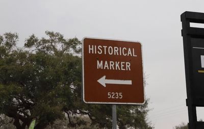
3. Terryville Marker
Directional historical marker guide sign at the entrance of the RV park across the road from the marker.
Credits. This page was last revised on February 15, 2026. It was originally submitted on February 15, 2026, by Dave W of Co, Colorado. This page has been viewed 61 times since then. Photos: 1, 2, 3. submitted on February 15, 2026, by Dave W of Co, Colorado. • James Hulse was the editor who published this page.
