Fürth, Bavaria, Germany — Central Europe
Ehemaliges Amtshaus
⎯⎯⎯
Former Administrative Building
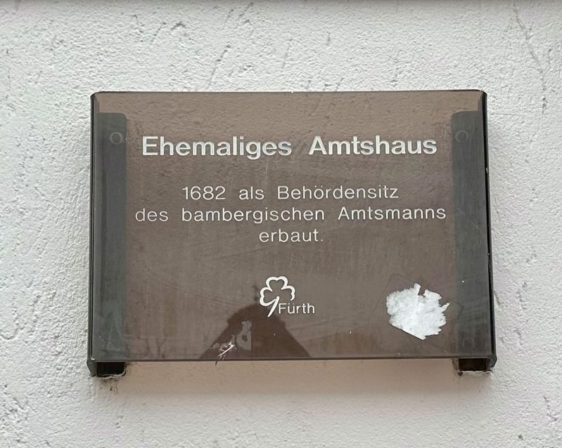
Photographed by Andrew Ruppenstein, February 5, 2026
1. Ehemaliges Amtshaus / Former Administrative Building Marker

Erected by Stadt Fürth.
Topics. This historical marker is listed in this topic list: Government & Politics. A significant historical year for this entry is 1682.
Location. 49° 28.787′ N, 10° 59.235′ E. Marker is in Fürth, Bayern (Bavaria). It is on Marktplatz near Gustavstraße, on the right when traveling east. Touch for map. Marker is at or near this postal address: Gustavstraße 65, Fürth BY 90762, Germany. Touch for directions.

Regionally, it is in Europe, the European Union, Atlantic Europe, Central Europe, the Schengen Area, Western Europe, and the Western World. Historically, it finds itself in what was once the Holy Roman Empire.
Other nearby markers. At least 8 other markers are within walking distance of this marker: Malka and Marcus Mandel (a few steps from this marker); Schlacht an der Alte Veste / Battle of the Alte Veste: Kirchenplatz (within shouting distance of this marker); Marktplatz / Market Square (within shouting distance of this marker); St. Michael (about
this page online
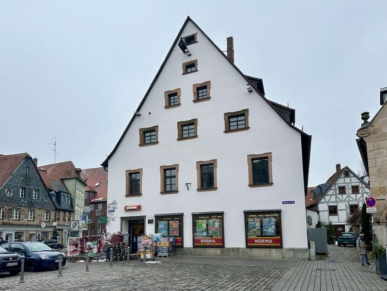
Photographed by Andrew Ruppenstein, February 5, 2026
2. Ehemaliges Amtshaus / Former Administrative Building and Marker
The marker is visible here just to the right of the doorway.

Photographed by Andrew Ruppenstein, February 5, 2026
3. Ehemaliges Amtshaus / Former Administrative Building
Credits. This page was last revised on February 16, 2026. It was originally submitted on February 16, 2026, by Andrew Ruppenstein of Lamorinda, California. This page has been viewed 56 times since then. Photos: 1, 2, 3. submitted on February 16, 2026, by Andrew Ruppenstein of Lamorinda, California.
