Near Jean in Clark County, Nevada — The American Mountains (Southwest)
The Last Spike
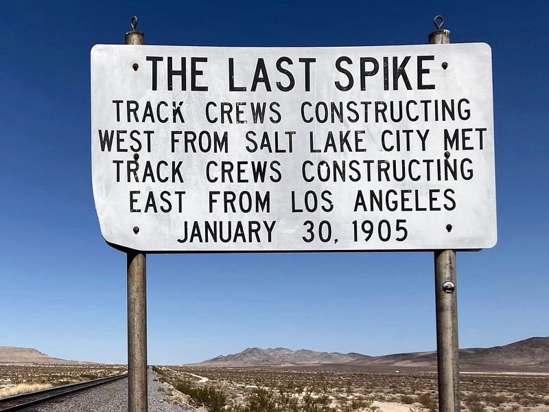
Photographed by Craig Baker, September 14, 2025
1. The Last Spike Marker
Topics. This historical marker is listed in this topic list: Railroads & Streetcars. A significant historical year for this entry is 1905.
Location. 35° 50.457′ N, 115° 16.409′ W. Marker is near Jean, Nevada, in Clark County. It is on Las Vegas Boulevard South 5.2 miles north of Goodsprings Road, on the left when traveling north. Located 600 feet west of the road at the railroad tracks. Look for a dirt road heading west to the tracks, across from the Seven Magic Mountains outdoor art installation. Touch for map. Marker is in this post office area: Jean NV 89019, United States of America. Touch for directions.

Regionally, this marker is in the Mojave Desert and in Greater Las Vegas. It is also in the American Southwest and in the Mountain West. Globally, it is in North America, the Western Hemisphere, the Western World, and the Anglosphere. Historically, it finds itself in what was once New Spain and also Mexico’s Alta California.
Other nearby markers. At least 8 other markers are within 9 miles
this page online
Another marker is no longer nearby. Old Elko Fire Bell (was approx. 5.4 miles away but has been confirmed missing).
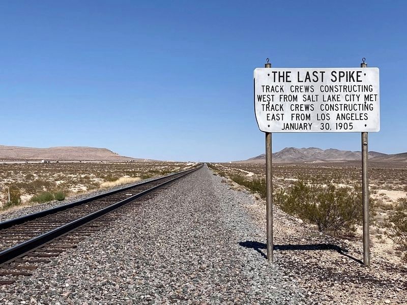
Photographed by Craig Baker, September 14, 2025
2. The Last Spike Marker
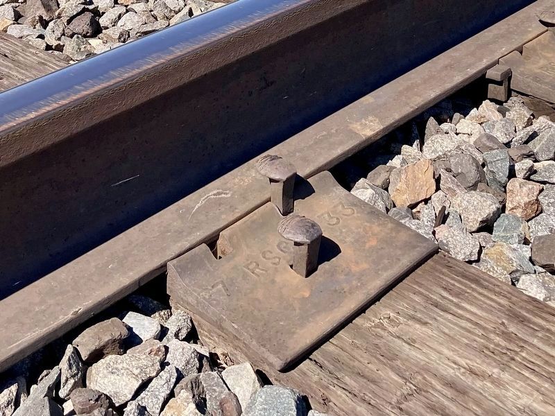
Photographed by Craig Baker, September 14, 2025
3. The Loose Spike
Examples of rail spikes next to the marker.
Photographed by Bill Kirchner, March 15, 2010
4. The Last Spike Marker
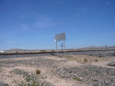
Photographed by Bill Kirchner, March 15, 2010
5. The Last Spike Marker
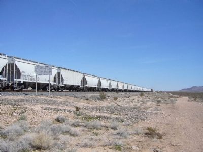
Photographed by Bill Kirchner, March 15, 2010
6. The Last Spike Marker
Credits. This page was last revised on September 14, 2025. It was originally submitted on March 31, 2010, by Bill Kirchner of Tucson, Arizona. This page has been viewed 1,632 times since then and 69 times this year. Photos: 1, 2, 3. submitted on September 14, 2025, by Craig Baker of Sylmar, California. 4, 5, 6. submitted on March 31, 2010, by Bill Kirchner of Tucson, Arizona. • Syd Whittle was the editor who published this page.
