Beresford in Union County, South Dakota — The American Midwest (Upper Plains)
William J. Bulow
Twelfth Governor of South Dakota

February 1, 2026
1. William J. Bulow Marker
Erected 1989 by the City of Beresford, the S.D. State Historical Society and the S.D. Department of Transportation. (Marker Number 503.)
Topics and series. This historical marker is listed in this topic list: Government & Politics. In addition, it
this page online
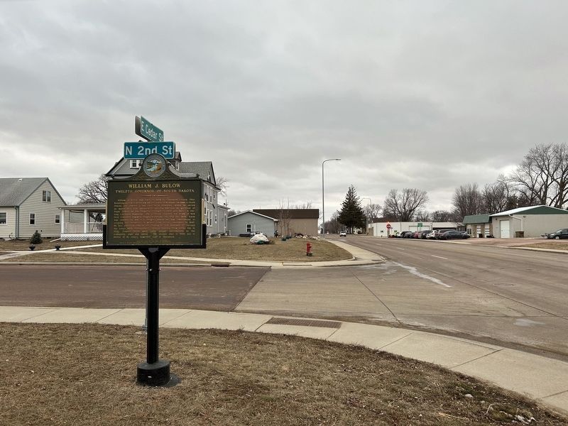
Location. 43° 5.014′ N, 96° 46.352′ W. Marker is in Beresford, South Dakota, in Union County. It is at the intersection of East Cedar Street (State Highway 46) and North 2nd Street, on the right when traveling east on East Cedar Street. Touch for map. Marker is in this post office area: Beresford SD 57004, United States of America. Touch for directions.

Regionally, this marker is in East River. It is also in the American Midwest, in the Lewis & Clark Corridor, in the Corn Belt, on the prairies, and on the Northern Plains. Globally, it is in North America, the Western Hemisphere, the Western World, and the Anglosphere. Historically, it finds itself in what was once Rupert’s Land and also the Louisiana Purchase.
Other nearby markers. At least 8 other markers are within 9 miles of this marker, measured as the crow flies: Beresford Veterans Memorial (a few steps from this marker); Memorial Tree (approx. 0.4 miles away); Bulow Park (approx. half a mile away); Memorial Day Order (approx. 0.6 miles away);

February 1, 2026
2. William J. Bulow Marker, from the west
February 1, 2026
3. William J. Bulow Marker, from the east
Credits. This page was last revised on February 18, 2026. It was originally submitted on February 17, 2026. This page has been viewed 75 times since then. Photos: 1, 2, 3. submitted on February 17, 2026.
