Near Belton in Bell County, Texas — The American South (West South Central)
Little River Fort
Photographed by Keith Peterson, February 2, 2008
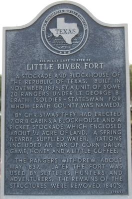
1. Little River Fort Marker
By Christmas they had erected 7 or 8 cabins, a blockhouse and a picket stockade, which enclosed about 1/2 acre of land. A spring nearby supplied water. Rations included an ear of corn daily, game, honey and a little coffee.
The Rangers withdrew about May, 1837. Later the fort was used by settlers, hunters and adventurers. The remains of the structures were removed, 1840's.
Erected 1969 by the State Historical Survey Committee. (Marker Number 3100.)
Topics. This historical marker is listed in this topic list: Forts and Castles. A significant historical year for this entry is 1836.
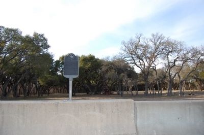
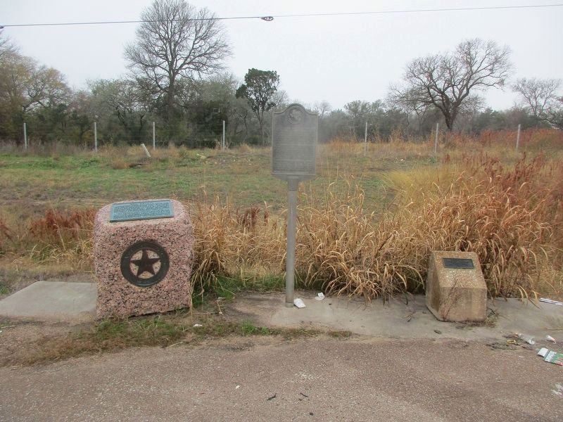
Location. 31° 0.229′ N, 97° 29.501′ W. Marker is near Belton, Texas, in Bell County. It is on I-35 Frontage Rd, on the right when traveling south. In road side park just north of Lampasas River bridge. Touch for map. Marker is in this post office area: Belton TX 76513, United States of America. Touch for directions.

Regionally, this marker is in Central Texas. It is also in the American South. Globally, it is in North America, a Gulf of Mexico state, the Western Hemisphere, the Western World, and the Anglosphere. Historically, it finds itself in what was once New Spain, the Republic of Texas, and one of the Confederate States of America.
Other nearby markers. At least 8 other markers are within 4 miles of this marker, measured as the crow flies: Bell County (a few steps from this marker); Gulf, Colorado and Santa Fe Railway Planing Mill (approx. 0.6 miles away); Wilson Van Dyke (approx. 1.1 miles away); Muehlhause House (approx. 3.6 miles away); Confederate Bell County (approx. 3.7 miles away); South Belton Cemetery (approx. 3.7 miles
this page online
Photographed by Keith Peterson, February 2, 2008
2. Little River Fort Marker
Photographed by Jeff Leichsenring, December 5, 2022
3. Little River Fort and Bell County Markers
Credits. This page was last revised on December 21, 2022. It was originally submitted on March 31, 2010, by Keith Peterson of Cedar Park, Texas. This page has been viewed 2,875 times since then and 116 times this year. Photos: 1, 2. submitted on March 31, 2010, by Keith Peterson of Cedar Park, Texas. 3. submitted on December 18, 2022, by Jeff Leichsenring of Garland, Texas. • Bill Pfingsten was the editor who published this page.
