Richardson in Dallas County, Texas — The American South (West South Central)
Richardson
Photographed by Kayla Harper, April 20, 2020
1. Richardson Marker
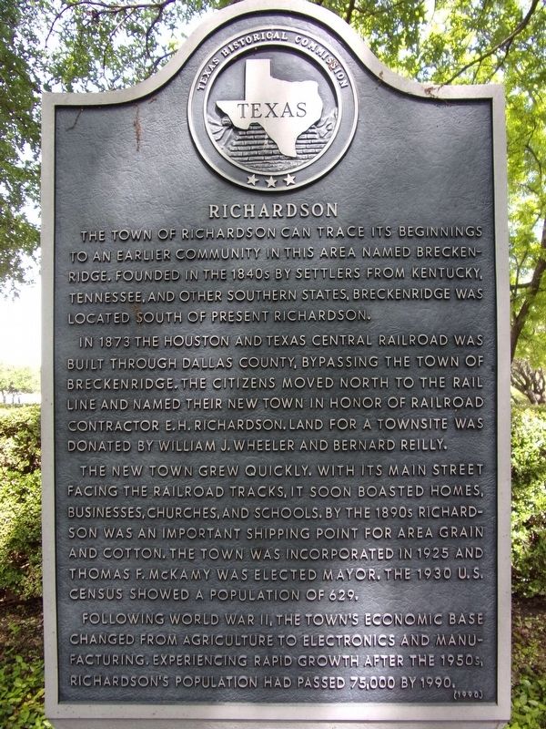
The town of Richardson can trace its beginnings to an earlier community in this area named Breckenridge. Founded in the 1840s by settlers from Kentucky, Tennessee, and other southern states, Breckenridge was located south of present Richardson.
In 1873 the Houston and Texas Central Railroad was built through Dallas County, bypassing the town of Breckenridge. The citizens moved north to the rail line and named their new town in honor of railroad contractor E.H. Richardson. Land for a townsite was donated by William J. Wheeler and Bernard Reilly.
The new town grew quickly. With its main street facing the railroad tracks, it soon boasted homes, businesses, churches, and schools. By the 1890s Richardson was an important shipping point for area grain and cotton. The town was incorporated in 1925 and Thomas F. McKamy was elected mayor. The 1930 U.S. Census showed a population of 629.
Following World War II, the town's economic base changed from agriculture to electronics and manufacturing. Experiencing rapid growth after the 1950s, Richardson's population had passed 75,000 by 1990.
Erected 1990 by Texas Historical
this page online
Topics. This historical marker is listed in these topic lists: Industry & Commerce • Railroads & Streetcars • Settlements & Settlers.
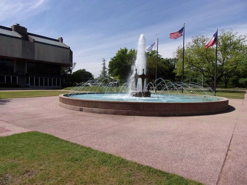
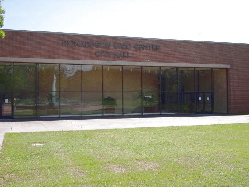
Location. 32° 57.595′ N, 96° 43.85′ W. Marker is in Richardson, Texas, in Dallas County. It can be reached from West Arapaho Road east of Civic Center Drive. The marker is on the north side of City Hall, within sight of the fountain and library. Touch for map. Marker is at or near this postal address: 411 W Arapaho Road, Richardson TX 75080, United States of America. Touch for directions.

Regionally, this marker is in the Prairies & Lakes Region and in the Dallas-Fort Worth Metropolitan Area. Globally, it is in North America, a Gulf of Mexico state, the Western Hemisphere, the Western World, and the Anglosphere. Historically, it finds itself in what was once New Spain, the Republic of Texas, one of the Confederate States of America, and the Antebellum South.
Other nearby markers. At least 8 other markers are within 3 miles of this marker, measured as the crow flies: First United Methodist Church Richardson

Photographed by Kayla Harper, April 20, 2020
2. Richardson Marker
Photographed by Kayla Harper, April 20, 2020
3. The Richardson City Hall Fountain
Photographed by Kayla Harper, April 20, 2020
4. Richardson Civic Center and City Hall
Credits. This page was last revised on February 19, 2026. It was originally submitted on April 20, 2020, by Kayla Harper of Dallas, Texas. This page has been viewed 1,737 times since then and 186 times this year. Last updated on February 19, 2026, by Morgan Petermann of Hurst, Texas. Photos: 1, 2, 3, 4. submitted on April 20, 2020, by Kayla Harper of Dallas, Texas. • Devry Becker Jones was the editor who published this page.
