Downtown Yonge in Toronto, Ontario — Central Canada (North America)
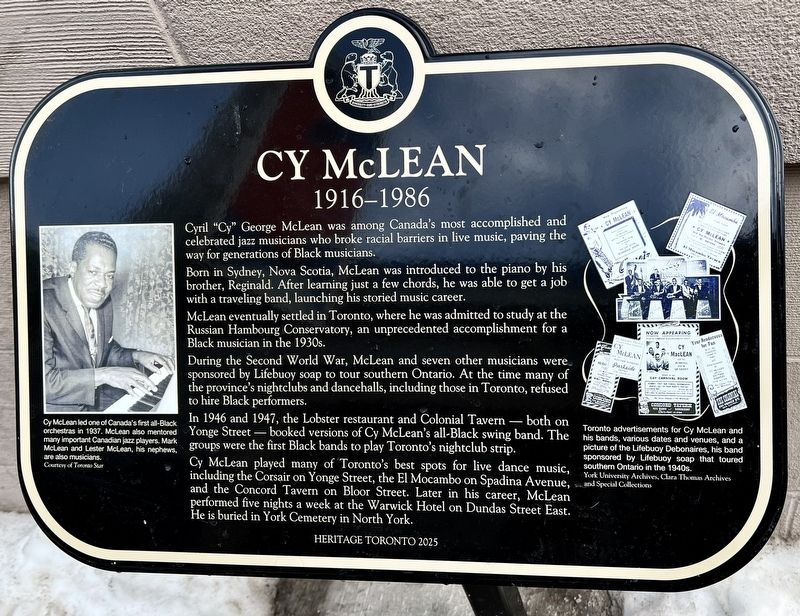
Cy McLean
1916-1986
Photographed by Tim Boyd, February 15, 2026
1. Cy McLean Marker
Cyril "Cy" George McLean was among Canada's most accomplished and celebrated jazz musicians who broke racial barriers in live music, paving the way for generations of Black musicians.
Born in Sydney, Nova Scotia, McLean was introduced to the piano by his brother, Reginald. After learning just a few chords, he was able to get a job with a traveling band, launching his storied music career.
McLean eventually settled in Toronto, where he was admitted to study at the Russian Hambourg Conservatory, an unprecedented accomplishment for a Black musician in the 1930s.
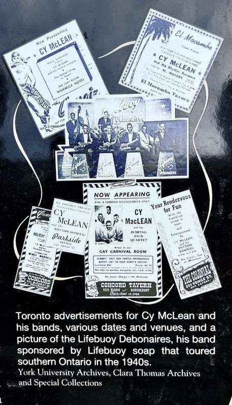
During the Second World War, McLean and seven other musicians were sponsored by Lifebuoy soap to tour southern Ontario. At the time many of the province's nightclubs and dancehalls, including those in Toronto, refused to hire Black performers.
In 1946 and 1947, the Lobster restaurant and Colonial Tavern - both on Yonge Street — booked versions of Cy McLean's all-Black swing band. The groups were the first Black bands to play Toronto's nightclub strip.
Cy McLean played many of Toronto's best spots for live dance music, including the Corsair on Yonge
this page online
Erected 2025 by Heritage Toronto.
Topics and series. This historical marker is listed in these topic lists: African Americans • Arts, Letters, Music • Entertainment. In addition, it is included in the Canada, Toronto Heritage series list. A significant historical year for this entry is 1946.
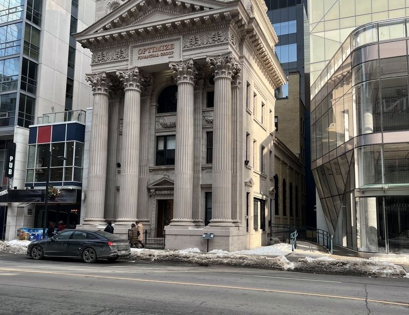
Location. 43° 39.207′ N, 79° 22.775′ W. Marker is in Toronto, Ontario. It is in Downtown Yonge. It is on Yonge Street 0.1 kilometers south of Shuter Street, on the right when traveling north. Touch for map. Marker is at or near this postal address: 216 Yonge Street, Toronto ON M5B 0C4, Canada. Touch for directions.

Regionally, this marker is in Greater Toronto and on the Golden Horseshoe. It is also in Central Canada. Globally, it is in North America, on the Great Lakes, in the Western Hemisphere, in the Western World, and in the Anglosphere. Historically, it finds itself in what was once a
Photographed by Tim Boyd, February 15, 2026
2. Cy McLean Marker
Other nearby markers. At least 8 other markers are within walking distance of this marker: Canadian Bank of Commerce - Yonge-Queen Branch (1905) (a few steps from this marker); Sir Ernest MacMillan (about 90 meters away, measured in a direct line); Massey Hall (about 90 meters away); Salvation Army Territorial Headquarters (about 120 meters away); Town Tavern (about 120 meters away); The Bay Queen Street Store / Le Magasin la Baie de la Rue Queen (about 150 meters away); "Old" City Hall / «Vieil» Hôtel de Ville (about 180 meters away); The Santa Claus Parade / La Parade du Père Noël (about 180 meters away). Touch for a list and map of all markers in Toronto.
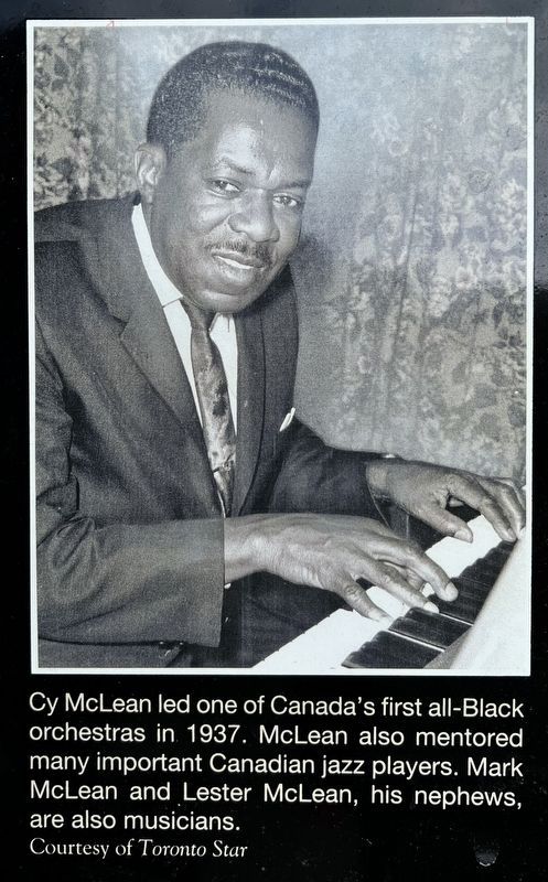
3. Cy McLean marker photo and caption detail (left)
Photographed by Tim Boyd, February 15, 2026
4. Cy McLean marker photo and caption detail (right)
Credits. This page was last revised on February 22, 2026. It was originally submitted on February 19, 2026, by Tim Boyd of Hamilton, Ontario. This page has been viewed 57 times since then. Photos: 1, 2, 3, 4. submitted on February 19, 2026, by Tim Boyd of Hamilton, Ontario. • Andrew Ruppenstein was the editor who published this page.
