Brookeville in Montgomery County, Maryland — The American Northeast (Mid-Atlantic)
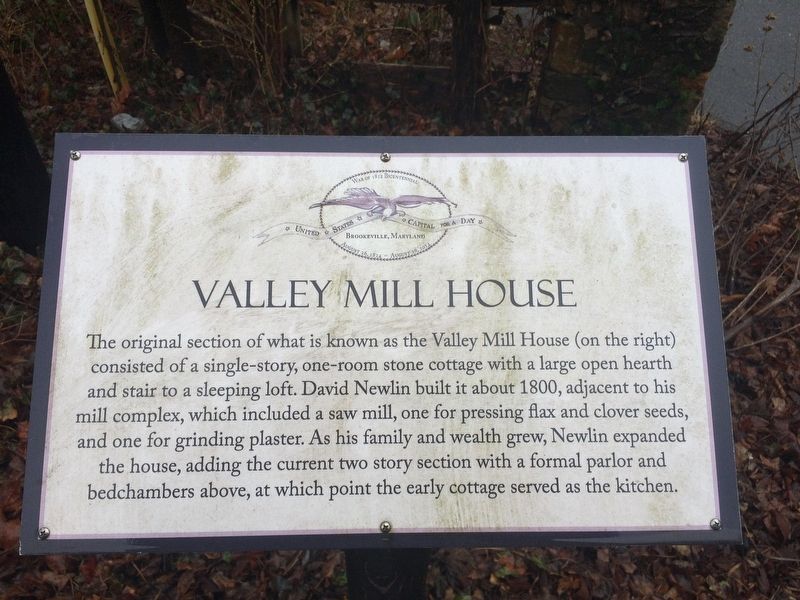
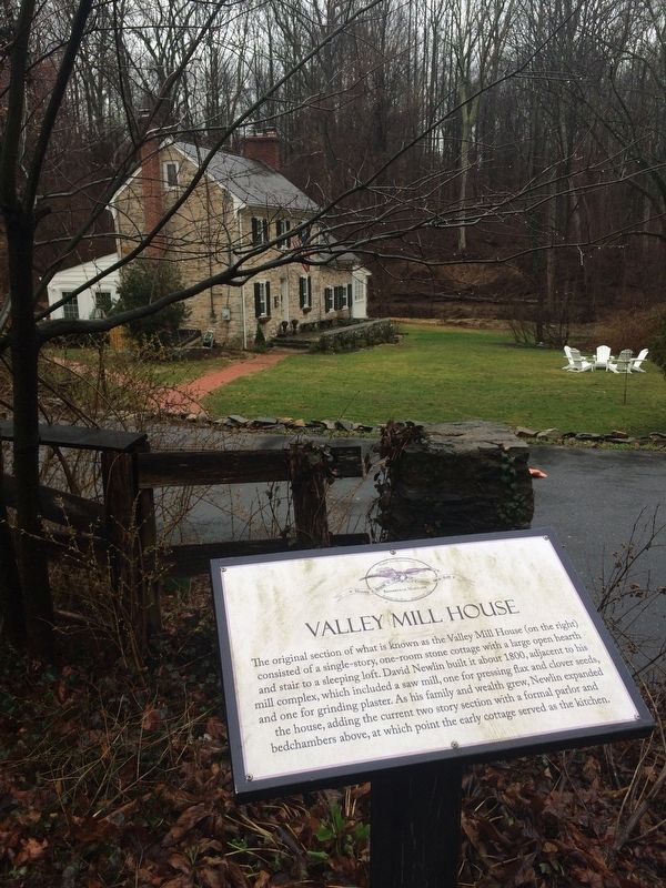
Valley Mill House
War of 1812 Bicentennial
| — | United States Capital for a Day | — |
Topics. This historical marker is listed in these topic lists: Architecture • Industry & Commerce • War of 1812. A significant historical year for this entry is 1800.
Location. 39° 10.824′ N, 77° 3.648′ W. Marker is in Brookeville, Maryland, in Montgomery County. It is on Market Street (Old Maryland Route 97) south of Brookeville Road, on the left when traveling north. In 2023, MD 97 was shifted to a bypass to west. Touch for map. Marker is at or near this postal address: 318 Market Street, Brookeville MD 20833, United States of America. Touch for directions.

Regionally, this marker
this page online
Other nearby markers. At least 8 other markers are within walking distance of this marker: The Moore Cottage (within shouting distance of this marker); Newlin’s Mill (about 300 feet away, measured in a direct line); Murphy House (about 400 feet away); Margaret Brooke House (about 500 feet away); Brookeville (about 600 feet away); August 26, 1814 (about 600 feet away); Newlin’s Mill Millstone (about 600 feet away); A Refuge (about 600 feet away). Touch for a list and map of all markers in Brookeville.
Credits. This page was last revised on February 19, 2026. It was originally submitted on February 25, 2018, by Devry Becker Jones of Washington, District of Columbia. This page has been viewed 599 times since then and 85 times this year. Last updated on February 19, 2026, by Carl Gordon Moore Jr. of North East, Maryland. Photos: 1, 2. submitted on February 25, 2018, by Devry Becker Jones of Washington, District of Columbia.
