
Primrose in Van Zandt County, Texas — The American South (West South Central)
Primrose-Sexton Community

Photographed by Jeff Leichsenring, February 16, 2026
1. Primrose-Sexton Community Marker
By 1866, when Denson sold land to John M. Williams, the deed excluded three acres for "Shilo Meeting House," believed to have been the area's first church and school. In the 1880s, Littleton Davidson and his family built a cotton gin, attracting more settlers. The one-room log New Harmony Church-School building east of Shilo Meeting House was in operation by 1880.
It was east of and across the road from the cemetery. The first grave in the New Harmony Cemetery was that of James A. Fulgham, who died at age two in 1880. The New Harmony school closed in the late 1890s. Fern and Ann Williams and Al Sexton conveyed two acres for the Sexton community school in 1899. The school grew rapidly. A federal post office was established in 1902 in Davidson's store
this page online
Erected 1998 by Texas Historical Commission. (Marker Number 12265.)
Topics. This historical marker is listed in these topic lists: Education • Industry & Commerce • Religion & Religious Structures • Settlements & Settlers. A significant historical year for this entry is 1847.
Location. 32° 26.013′ N, 95° 36.205′ W. Marker is in Primrose, Texas, in Van Zandt County. It is at the intersection of Farm to Market Road 314 and County Road 4905, on the right when traveling north on Road 314. Touch for map. Marker is at or near this postal address: 5515 FM314, Ben Wheeler TX 75754, United States of America. Touch for directions.

Regionally, this marker is in the American South and
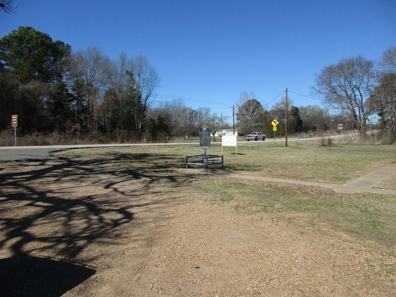
Photographed by Jeff Leichsenring, February 16, 2026
2. Primrose-Sexton Community Marker
Other nearby markers. At least 8 other markers are within 6 miles of this marker, measured as the crow flies: First Baptist Church of Edom (approx. 4.1 miles away); Site of C.W. Morris Cotton Gin (approx. 4.2 miles away); Potters Brown (approx. 4.2 miles away); Tyler-Porter's Bluff Road (approx. 4.3 miles away); Edom (approx. 4.3 miles away); Edom Methodist Church (approx. 4.3 miles away); Marvin Chapel Cemetery (approx. 5.6 miles away); Cherokee Chief Bowles (approx. 5.7 miles away).
Credits. This page was last revised on February 21, 2026. It was originally submitted on February 20, 2026, by Jeff Leichsenring of Garland, Texas. This page has been viewed 114 times since then. Photos: 1, 2. submitted on February 20, 2026, by Jeff Leichsenring of Garland, Texas. • James Hulse was the editor who published this page.
