Near Henrico in Henrico County, Virginia — The American South (Mid-Atlantic)
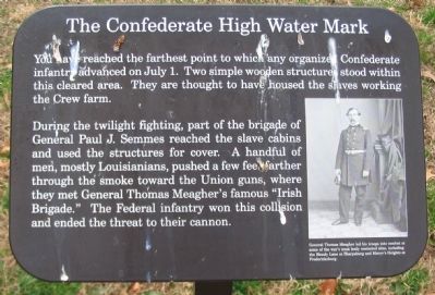
The Confederate High Water Mark
During the twilight fighting, part of the brigade of General Paul J. Semmes reached the slave cabins and used the structures for cover. A handful of men, mostly Louisianians, pushed a few feet farther through the smoke toward the Union guns, where they met General Thomas Meagher's famous "Irish Brigade." The Federal infantry won this collision and ended the threat to their cannon.
Topics. This historical marker is listed in this topic list: War, US Civil. A significant historical month for this entry is July 1861.
Location. 37° 25.048′ N, 77° 15.146′ W. Marker is near Henrico, Virginia, in Henrico County. Marker is on Carters Mill Road just west of Willis Church Road (State Highway 156), on the right when traveling south. Located in the Malvern Hill Battlefield Unit of the Richmond National Battlefield Park. Touch for map. Marker is in this post office area: Henrico VA 23231, United States of America. Touch for directions.
Other nearby markers. At least 8 other markers are within walking distance of this marker. Historic Farm Road (within shouting distance of this marker); Confederate Futility (about 700 feet away, measured in a direct line); Seven Days Battles (approx. 0.2 miles away); "Madness" (approx. 0.2 miles away); Outgunned (approx. 0.2 miles away); a different marker also named Confederate Futility (approx. 0.2 miles away); Battlefield Burials (approx. 0.2 miles away); The Farthest Advance (approx. 0.2 miles away). Touch for a list and map of all markers in Henrico.
More about this marker. On the right of the marker is a portrait of General Meagher. General Thomas Meagher led his troops into combat at some of the war's most hotly contested sites, including the Bloody Lane at Sharpsburg and Marye's Heights at Fredericksburg.

2. Malvern Hill - CWPT
Civil War Preservation Trust's efforts to preserve portions of the battlefield.
Click for more information.
Click for more information.

Photographed By Craig Swain, March 21, 2010
4. Irish Brigade Drives the Confederates Back
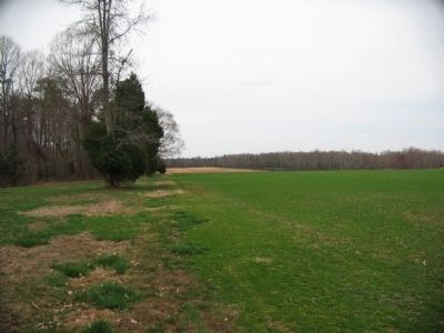
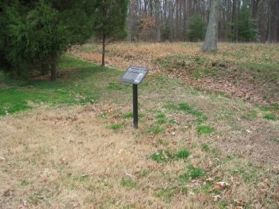
Looking north along the trail toward the location of the marker. The marker is located just past the cedar bush on the left. Likely the location where the Irish Brigade repelled the Confederates was to the left of this view, in what is today a thicket of trees.

Library of Congress
5. Gen. T.F. Meagher, U.S.A.
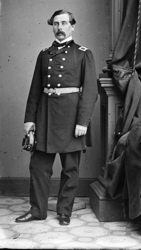
General Thomas Meagher led his troops into combat at some of the war's most hotly contested sites, including the Bloody Lane at Sharpsburg and Marye's Heights at
Fredericksburg.
Civil war photographs, 1861-1865, Library of Congress, Prints and Photographs Division.
Civil war photographs, 1861-1865, Library of Congress, Prints and Photographs Division.
Credits. This page was last revised on January 23, 2024. It was originally submitted on April 3, 2010, by Craig Swain of Leesburg, Virginia. This page has been viewed 1,173 times since then and 41 times this year. Photos: 1. submitted on April 3, 2010, by Craig Swain of Leesburg, Virginia. 2. submitted on March 28, 2010, by Craig Swain of Leesburg, Virginia. 3, 4. submitted on April 3, 2010, by Craig Swain of Leesburg, Virginia. 5. submitted on January 16, 2024, by Allen C. Browne of Silver Spring, Maryland.

