Schnaittach in Nürnberger Land, Bavaria, Germany — Central Europe
Die Ersterwähnung
Schnaittacher Geschichtsweg
⎯⎯⎯
The First Recorded Mention
Schnaittach Historical Trail
Photographed by James Hulse, February 24, 2026
1. Die Ersterwähnung / The First Recorded Mention Marker

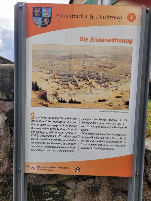
Im Jahre 1011 schenkte König Heinrich, der spätere Kaiser Heinrich II., dem von ihm im Jahre 1007 gegründeten Bistum Bamberg neben sechs weiteren Orten in der Umgebung (Förrenbach, Hersbruck, Ittling, Oberkrumbach, Rüsselbach und Vorra) einen Domänenhof (= unmittelbarer Besitz des Landesherrn) zu Schnaittach, der im damaligen baierischen Nordgau gelegen war und zum baierischen Hausgut des Königs gehörte. In der Schenkungsurkunde vom 17. Juli 1011 wird Schnaittach erstmals urkundlich erwähnt.
Seinen Namen hat der Ort von dem gleichnamigen Bach (Snait-Aha = Grenz-Bach), der die altbesiedelte Juralandschaft im Osten von dem erst später erschlossenen Reichswald im Westen trennte.
Aquarell von P. Fritz 1931 Heimatmuseum
In the year 1011, King Henry — later Emperor Henry II - granted to the Diocese of Bamberg, which he had founded in 1007, a royal estate (a domain directly owned by the sovereign) in Schnaittach, along with six other nearby places (Förrenbach, Hersbruck, Ittling, Oberkrumbach, Rüsselbach and Vorra). This estate lay in the Bavarian Nordgau at that time and belonged
this page online
The town takes its name from the stream of the same name (Snait-Aha = boundary stream), which separated the long-settled Jura landscape in the east from the imperial forest in the west that was developed only later.
Watercolor by P. Fritz, 1931 Local History Museum
Erected 2011 by Museum and Historical Society of Schnaittach (registered association). (Marker Number 1.)
Topics. This historical marker is listed in this topic list: Settlements & Settlers. A significant day of the year for for this entry is July 17.
Location. 49° 33.46′ N, 11° 20.395′ E. Marker is in Schnaittach, Bayern (Bavaria), in Nürnberger Land. It is on Nürnberger Straße just north of Poststraße, on the left when traveling north. Touch for map. Marker is at or near this postal address: Nürnberger Str 32, Schnaittach BY 91220, Germany. Touch for directions.

Regionally, this marker is in German Franconia. Globally, it is in Europe, the European Union, Atlantic Europe, Central Europe, the Schengen Area, Western Europe,
Photographed by James Hulse, February 24, 2026
2. Die Ersterwähnung / The First Recorded Mention Marker
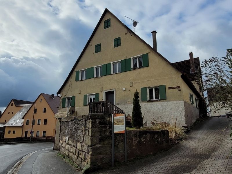
The view of the marker along the street.
Other nearby markers. At least 8 other markers are within walking distance of this marker: Emma Ullmann (a few steps from this marker); Das Schnaittacher Heimatmuseum und das Jüdische Museum Franken (about 90 meters away, measured in a direct line); Frauenschul / Women’s Prayer Room (about 90 meters away); Dina Wolf (about 90 meters away); Synagogue (about 90 meters away); Vorsängerhaus / Cantor’s House (about 90 meters away); Flora Altbater (about 90 meters away); Moses Gutmann (about 90 meters away). Touch for a list and map of all markers in Schnaittach.
Credits. This page was last revised on March 3, 2026. It was originally submitted on March 2, 2026, by James Hulse of Medina, Texas. This page has been viewed 35 times since then. Photos: 1, 2. submitted on March 3, 2026, by James Hulse of Medina, Texas.
