Schnaittach in Nürnberger Land, Bavaria, Germany — Central Europe
Die Kasern
Schnaittacher Geschichtsweg
⎯⎯⎯
The Barracks
Schnaittach Historical Trail
Photographed by James Hulse, February 24, 2026
1. Die Kasern / The Barracks Marker

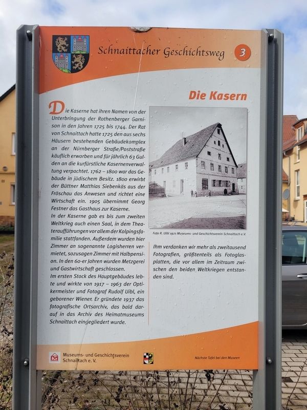
Die Kaserne hat ihren Namen von der Unterbringung der Rothenberger Garnison in den Jahren 1725 bis 1744. Der Rat von Schnaittach hatte 1725 den aus sechs Häusern bestehenden Gebäudekomplex an der Nürnberger Straße/Poststraße käuflich erworben und für jährlich 63 Gulden an die kurfürstliche Kasernenverwaltung verpachtet. 1762-1800 war das Gebäude in jüdischem Besitz. 1800 erwirbt der Büttner Matthias Siebenkäs aus der Fröschau das Anwesen und richtet eine Wirtschaft ein. 1905 übernimmt Georg Festner das Gasthaus zur Kaserne.
In der Kaserne gab es bis zum zweiten Weltkrieg auch einen Saal, in dem Theateraufführungen vor allem der Kolpingsfamilie stattfanden. Außerdem wurden hier Zimmer an sogenannte Logisherren vermietet, sozusagen Zimmer mit Halbpension. In den 60-er Jahren wurden Metzgerei und Gastwirtschaft geschlossen.
Im ersten Stock des Hauptgebäudes lebte und wirkte von 1917 1963 der Optikermeister und Fotograf Rudolf Uibl, ein geborener Wiener. Er gründete 1937 das fotografische Ortsarchiv, das bald darauf in das Archiv des Heimatmuseums Schnaittach eingegliedert wurde.
Ihm verdanken wir
this page online
Foto R. Uibl 1921 Museums- und Geschichtsverein Schnaittach e. V.
The “Kaserne” (barracks) takes its name from the lodging of the Rothenberg garrison between 1725 and 1744. In 1725, the council of Schnaittach purchased the building complex, consisting of six houses, on Nürnberger Straße/Poststraße and leased it to the electoral barracks administration for an annual rent of 63 gulden. From 1762 to 1800 the building was in Jewish ownership. In 1800, the cooper Matthias Siebenkäs from the Fröschau acquired the property and established an inn. In 1905, Georg Festner took over the inn “Zur Kaserne.”
Until the Second World War, the Kaserne also had a hall where theatrical performances, especially by the Kolping family association, took place. In addition, rooms were rented to so-called “Logisherren,” essentially offering lodging with half board. In the 1960s, the butcher’s shop and the inn were closed.
On the first floor of the main building, the master optician and photographer
Photographed by James Hulse, February 24, 2026
2. Die Kasern / The Barracks Marker
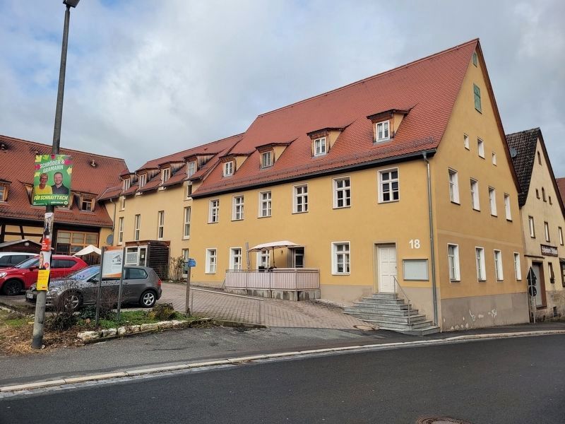
The view of one the building and marker from across the street. The building in the photo is located at the south of the marker.
Photo by R. Uibl, 1921 Museum and Historical Society of Schnaittach (registered association)
Erected 2011 by Museum and Historical Society of Schnaittach (registered association). (Marker Number 3.)
Topics. This historical marker is listed in this topic list: Military. A significant historical year for this entry is 1725.
Location. 49° 33.507′ N, 11° 20.321′ E. Marker is in Schnaittach, Bayern (Bavaria), in Nürnberger Land. It is at the intersection of Nürnberger Straße and Poststraße, on the left when traveling north on Nürnberger Straße. Touch for map. Marker is at or near this postal address: Nürnberger Straße 22, Schnaittach BY 91220, Germany. Touch for directions.

Regionally, this marker is in German Franconia. Globally, it is in Europe, the European Union, Atlantic Europe, Central Europe,
Photographed by James Hulse, February 24, 2026
3. Die Kasern / The Barracks Marker
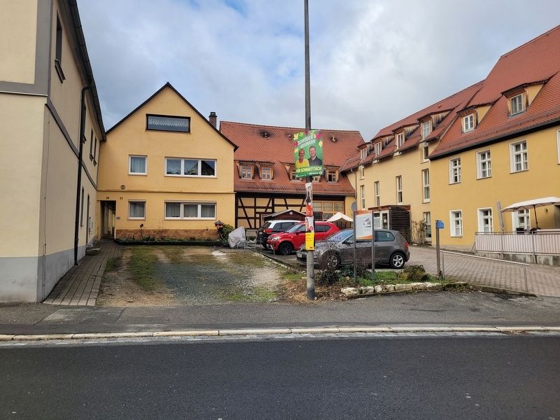
Other buildings located behind the marker.
Other nearby markers. At least 8 other markers are within walking distance of this marker: Entwicklung zum Markt / Development into a Market Town (about 120 meters away, measured in a direct line); Emma Ullmann (about 120 meters away); Die Ersterwähnung / The First Recorded Mention (about 120 meters away); Dina Wolf (about 120 meters away); Marianne Künstler (about 120 meters away); Simon Freimann (about 120 meters away); Das Rathaus / The Town Hall (about 150 meters away); Hannchen Forster (about 150 meters away). Touch for a list and map of all markers in Schnaittach.
Credits. This page was last revised on March 3, 2026. It was originally submitted on March 2, 2026, by James Hulse of Medina, Texas. This page has been viewed 41 times since then. Photos: 1, 2, 3. submitted on March 3, 2026, by James Hulse of Medina, Texas.
