Schnaittach in Nürnberger Land, Bavaria, Germany — Central Europe
Der untere Marktplatz
Schnaittacher Geschichtsweg
⎯⎯⎯
The Lower Market Square
Schnaittach Historical Trail
Photographed by James Hulse, February 24, 2026
1. Der untere Marktplatz / The Lower Market Square Marker

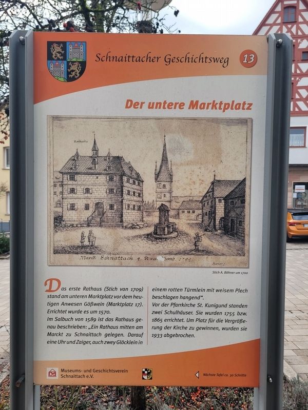
Das erste Rathaus (Stich von 1709) stand am unteren Marktplatz vor dem heutigen Anwesen Gößwein (Marktplatz 17). Errichtet wurde es um 1570.
Im Salbuch von 1589 ist das Rathaus genau beschrieben: „Ein Rathaus mitten am Marckt zu Schnaittach gelegen. Darauf eine Uhr und Zaiger, auch zwey Glöcklein in einem rotten Türmlein mit weisem Plech beschlagen hangend.“
Vor der Pfarrkirche St. Kunigund standen zwei Schulhäuser. Sie wurden 1755 bzw. 1865 errichtet. Um Platz für die Vergrößerung der Kirche zu gewinnen, wurden sie 1933 abgebrochen.
Stich A. Böhner um 1700
The first town hall (engraving from 1709) stood on the lower market square in front of what is today the Gößwein property (Marktplatz 17). It was built around 1570.
In the Salbuch (land register) of 1589, the town hall is described in detail: “A town hall situated in the middle of the market at Schnaittach. Upon it a clock and dial, also two little bells hanging in a red turret covered with white sheet metal.”
In front of the parish church of St. Kunigund stood two schoolhouses. They were built in 1755 and 1865 respectively.
this page online
Engraving by A. Böhner, around 1700.
Erected 2011 by Museum and Historical Society of Schnaittach (registered association). (Marker Number 13.)
Topics. This historical marker is listed in this topic list: Industry & Commerce. A significant historical year for this entry is 1570.
Location. 49° 33.578′ N, 11° 20.466′ E. Marker is in Schnaittach, Bayern (Bavaria), in Nürnberger Land. It is at the intersection of Marktplatz and Bayreuther Str., on the left when traveling east on Marktplatz. Touch for map. Marker is at or near this postal address: Marktpl 15, Schnaittach BY 91220, Germany. Touch for directions.

Regionally, this marker is in German Franconia. Globally, it is in Europe, the European Union, Atlantic Europe, Central Europe, the Schengen Area, Western Europe, and the Western World. Historically, it finds itself in what was once the Holy Roman Empire and also the former West Germany.
Other nearby markers. At least 8 other markers are within walking distance of this marker: Pfarrkirche St. Kunigund / Parish Church of St. Kunigund
Photographed by James Hulse
2. Der untere Marktplatz / The Lower Market Square Marker
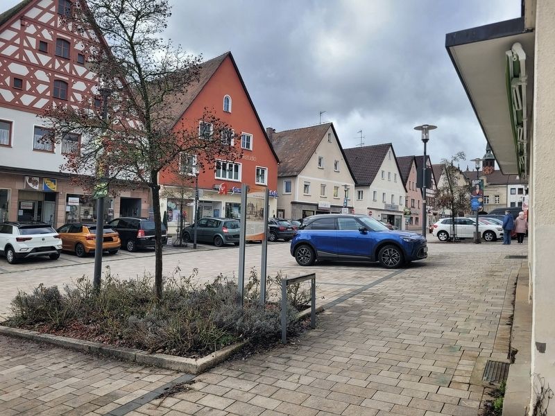
The view of the marker along Marktplatz.

Photographed by James Hulse, February 24, 2026
3. Der untere Marktplatz / The Lower Market Square Marker
The view of the marker in reverse to the street.
Credits. This page was last revised on March 3, 2026. It was originally submitted on March 2, 2026, by James Hulse of Medina, Texas. This page has been viewed 32 times since then. Photos: 1, 2, 3. submitted on March 3, 2026, by James Hulse of Medina, Texas.
