
Bluffdale in Salt Lake County, Utah — The American Mountains (Southwest)
Bluffdale
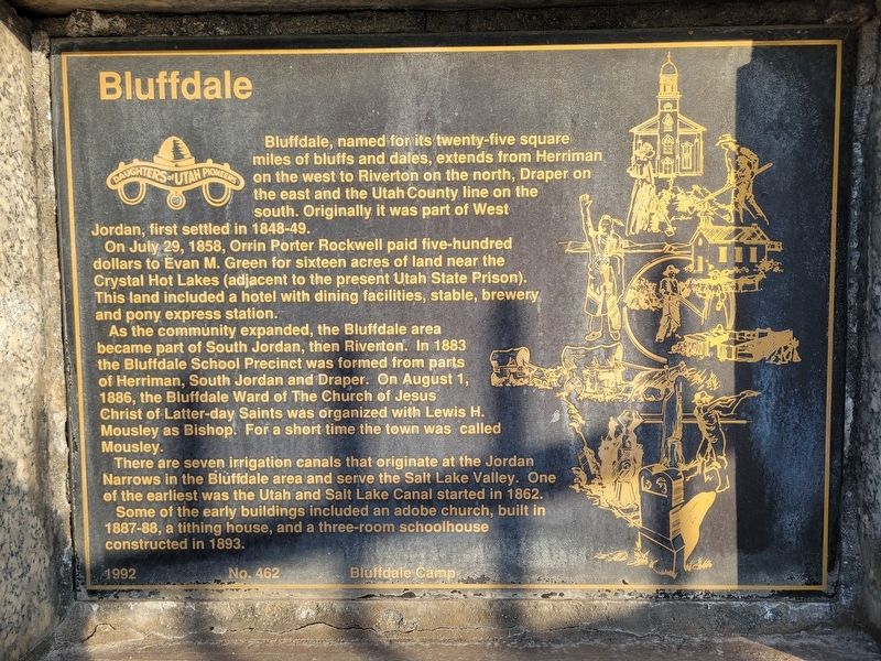
Photographed by Jeremy Snow, January 12, 2026
1. Bluffdale Marker
On July 29, 1858, Orrin Porter Rockwell paid five-hundred dollars to Evan M. Green for sixteen acres of land near the Crystal Hot Lakes (adjacent to the present Utah State Prison). This land included a hotel with dining facilities, stable, brewery and pony express station.
As the community expanded, the Bluffdale area became part of South Jordan, then Riverton. In 1883 the Bluffdale School Precinct was formed from parts of Herriman, South Jordan and Draper. On August 1, 1886, the Bluffdale Ward of The Church of Jesus Christ of Latter-day Saints was organized with Lewis H. Mousley as Bishop. For a short time the town was called Mousley.
There are seven irrigation canals that originate at the Jordan Narrows in the Bluffdale area and serve the Salt Lake Valley. One of the earliest was the Utah and Salt Lake Canal started in 1862.
Some of the early buildings included
this page online
Erected 1992 by Daughters of Utah Pioneers. (Marker Number 462.)
Topics and series. This historical marker is listed in this topic list: Settlements & Settlers. In addition, it is included in the Daughters of Utah Pioneers series list. A significant historical date for this entry is July 29, 1858.
Location. 40° 29.575′ N, 111° 56.317′ W. Marker is in Bluffdale, Utah, in Salt Lake County. It is on South Redwood Road, on the right when traveling north. Marker can be seen from the sidewalk in front of the cemetery. Touch for map. Marker is at or near this postal address: 14208 S Redwood Road, Riverton UT 84065, United States of America. Touch for directions.

Regionally, this marker is in the Wasatch Front and in Greater Salt Lake. It is also in the American Mountain West and on the Colorado Plateau. Globally, it is in North America, the Rocky Mountains, the Western Hemisphere, the Western World, and the Anglosphere. Historically, it finds itself in what was once New Spain and also Mexico’s Alta California.
Other nearby markers. At
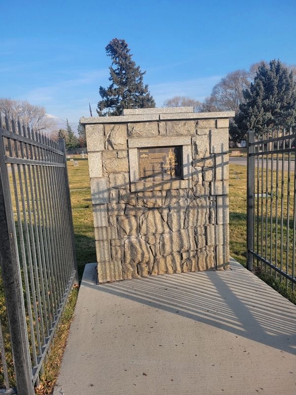
Photographed by Jeremy Snow, January 12, 2026
2. Bluffdale Marker
Another marker is no longer nearby. Early Riverton and the Magnificent Dome Church (was approx. 1.9 miles away but has been permanently removed).
Credits. This page was last revised on March 3, 2026. It was originally submitted on March 3, 2026, by Jeremy Snow of Cedar City, Utah. This page has been viewed 48 times since then. Photos: 1, 2. submitted on March 3, 2026, by Jeremy Snow of Cedar City, Utah. • Andrew Ruppenstein was the editor who published this page.
