Schnaittach in Nürnberger Land, Bavaria, Germany — Central Europe
Der Rothenberg
Schnaittacher Geschichtsweg
⎯⎯⎯
Fortress Hill
Schnaittach Historical Trail
Photographed by James Hulse, February 24, 2026
1. Der Rothenberg / Fortress Hill Marker

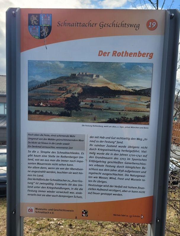
Hoch oben die Feste, einst schirmende Wehr Umgrenzt von des Waldes grünschimmerndem Meer Da blickt sie hinaus in die Lande soweit Ein Denkmal verrauschter, veronnener Zeit
So die 2. Strophe des Schnaittachliedes. Es gibt kaum eine Stelle im Rothenberger Umland, von wo aus man die immer noch imposanten Mauerreste nicht sehen kann. Vor allem dann, wenn sie von der Abendsonne angestrahlt werden, leuchten sie weit hinaus ins Land.
Das Verhältnis der Schnaittacher zu „ihrer Festung“ ist zwiespältig. Einerseits litt das Umland unter den Kriegshandlungen, in die die Festung immer wieder verwickelt war, andererseits bot sie aber auch demjenigen Schutz, der mit Hab und Gut rechtzeitig den Weg „hinauf zu der Festung" fand.
Ihr ruinöser Zustand wurde übrigens nicht durch Kriegseinwirkung herbeigeführt. Vielmehr wurde die in den Jahren 1720-1741 auf den Grundmauern des 1703 im Spanischen Erbfolgekrieg geschleiften Ganerbenschlosses erbaute Festung durch königlichen Beschluss aus dem Jahre 1838 aufgelassen und regelrecht ausgeschlachtet. Die Naturgewalten wie Wasser, Wind, Frost und Wurzeln taten ihr übriges.
Heutzutage
this page online
Die Festung Rothenberg, wohl um 1800, 0. Sign., privat München und Bonn
High above the fortress, once a protecting stronghold, Surrounded by the forest’s green-shimmering sea, It gazes far out across the land— A monument to bygone, vanished times.
So reads the second verse of the Schnaittach Song. There are hardly any places in the countryside around Rothenberg from which the still imposing remains of its walls cannot be seen. Especially when illuminated by the evening sun, they shine far out across the landscape.
The relationship of the people of Schnaittach to “their fortress” is ambivalent. On the one hand, the surrounding countryside suffered from the military actions in which the fortress was repeatedly involved; on the other hand, it also offered protection to anyone who managed in time to make their way “up to the fortress” with their possessions.
Its ruinous condition, incidentally, was not caused by warfare. Rather, the fortress—built between 1720 and 1741 on the foundations of the
Photographed by James Hulse, February 24, 2026
2. Der Rothenberg / Fortress Hill Marker
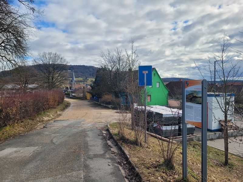
The marker with a view of the castle ruins on the high hilltop.
Today, great financial effort is made to slow the decay, but it cannot be stopped permanently.
The Rothenberg Fortress, probably around 1800. Unsigned, private collection, Munich and Bonn.
Erected 2011 by Museum and Historical Society of Schnaittach (registered association). (Marker Number 19.)
Topics. This historical marker is listed in this topic list: Forts and Castles. A significant historical year for this entry is 1703.
Location. 49° 33.673′ N, 11° 20.228′ E. Marker is in Schnaittach, Bayern (Bavaria), in Nürnberger Land. It is at the intersection of Krankenhausweg and Oberer Krankenhausweg, on the right when traveling east on Krankenhausweg. Touch for map. Marker is at or near this postal address: Krankenhausweg 13, Schnaittach BY 91220, Germany. Touch for directions.

Regionally, this marker is in German Franconia. Globally, it is in Europe, the European Union, Atlantic Europe, Central Europe,
Photographed by James Hulse, February 24, 2026
3. Der Rothenberg / Fortress Hill Marker
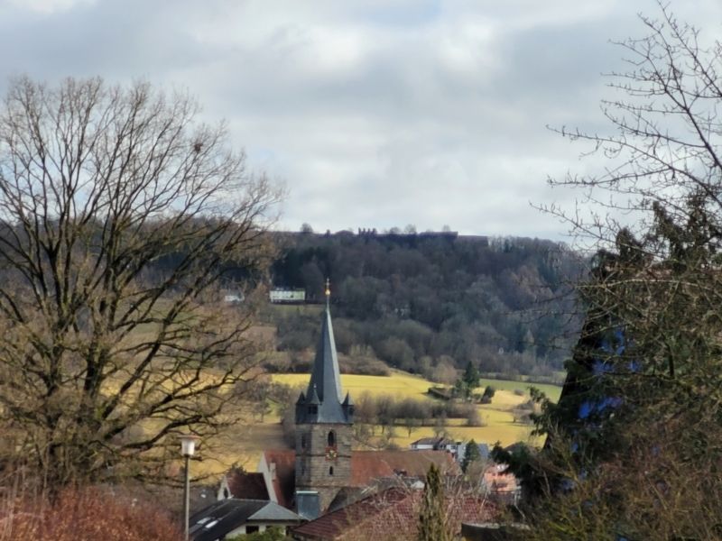
Te view of the former fortress from the marker.
Other nearby markers. At least 8 other markers are within walking distance of this marker: Landjüdische Spuren auf den Friedhöfen in Schnaittach (a few steps from this marker); Das ehemalige Kreiskrankenhaus / The Former District Hospital (about 90 meters away, measured in a direct line); Die Schulen / The Schools (about 120 meters away); Das alte Gemeindekrankenhaus / The Old Municipal Hospital (about 120 meters away); Die evangelische Kirche / The Protestant Church (about 150 meters away); Die jüdischen Friedhöfe / The Jewish Cemeteries (about 150 meters away); Das Scheunenviertel / The Barn Quarter (about 150 meters away); Die Kalvarienberganlage / Calvary Hill Complex (about 180 meters away). Touch for a list and map of all markers in Schnaittach.
Credits. This page was last revised on March 8, 2026. It was originally submitted on March 6, 2026, by James Hulse of Medina, Texas. This page has been viewed 41 times since then. Photos: 1, 2, 3. submitted on March 8, 2026, by James Hulse of Medina, Texas.
