Downtown West in Minneapolis in Hennepin County, Minnesota — The American Midwest (Upper Plains)
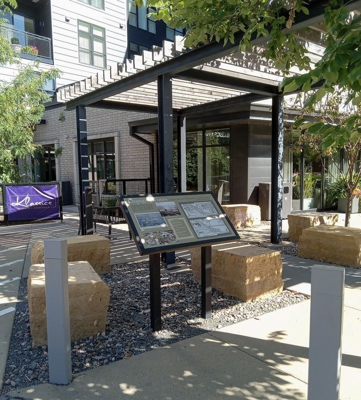
Changing Times
Compare these maps and photographs to see changes brought by prosperity and decline.

Photographed by McGhiever, September 29, 2024
1. Changing Times Marker
In the 1880s, Minneapolis dominated the nation's flour-milling industry. By the 1910s, the city was on the verge of losing that title, but the riverfront still bustled. By the mid-twentieth century, many of the mills were demolished or abandoned, resulting in declining train traffic. Cars and trucks also carried passengers and freight that used to go by rail.
1912
(Sweet Studios, photographer; Richard Ferrell Flour Milling Industry History Collection, Minnesota Historical Society)
1915
In this 1915 postcard and 1912 photo, you can identify some of the buildings that appear on the 1889 Sanborn map, although some buildings have expanded and occupants have changed.
(Postcard, Minnesota Historical Society)
1940s
This aerial from the 1940s shows the area transformed since the boom times in the early twentieth century.
(Hennepin History Museum)
Building Key:
1. Hall and Dann Barrel Company (now Mill Place)
2. Minneapolis and Eastern Engine House
3. Pray Manufacturing Company
4. Falls Hotel
5. Hashow, Marsh and Davis Machine Shop
6. Milwaukee Road Depot
1889
1951
Maps from Sanborn Map Company, Insurance Maps of Minneapolis, 1885 updated to 1889, and 1912 updated to 1951.
Topics.
this page online
Location. 44° 58.825′ N, 93° 15.685′ W. Marker is in Minneapolis, Minnesota, in Hennepin County. It is in Downtown West. It is at the intersection of S. 2nd Street and the 300 S. 2nd St. Parking, on the right when traveling west on S. 2nd Street. Touch for map. Marker is at or near this postal address: 300 S 2nd Street, Minneapolis MN 55401, United States of America. Touch for directions.

Regionally, this marker is in the Twin Cities Metropolitan Area. It is also in the American Midwest, in the Corn Belt, and in the Great River Road Region. Globally, it is in North America, the Western Hemisphere, the Western World, and the Anglosphere. Historically, it finds itself in what was once Rupert’s Land, the territory of the Mississippian Culture, and the Louisiana Purchase.
Other nearby markers. At least 8 other markers are within walking distance of this marker: Welcome to the Rail Maze (a few steps from this marker); Trains Can't Swim (within shouting distance of this marker); A Little Railroad with a Long History
Photographed by McGhiever, September 29, 2024
2. Changing Times Marker outside 428 S. 2nd Street
Credits. This page was last revised on March 6, 2026. It was originally submitted on March 6, 2026, by McGhiever of Minneapolis, Minnesota. This page has been viewed 38 times since then. Photos: 1, 2. submitted on March 6, 2026, by McGhiever of Minneapolis, Minnesota.
