
Financial District in Manhattan in New York County, New York — The American Northeast (Mid-Atlantic)
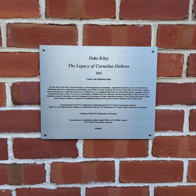
The Legacy of Cornelius Dirkson
Photographed by Jack DePalma, February 27, 2026
1. The Legacy of Cornelius Dirkson Marker
The Legacy of Cornelius Dirkson
2015
Laser-cut stainless steel
Commissioned by the NYC Department of Education and the NYC School Construction Authority
Public Art for Public Schools Program, in collaboration with the NYC Department of Cultural Affairs Percent for Art Program
Collection of the NYC Department of Education
Topics. This historical
this page online
Location. 40° 42.522′ N, 74° 0.133′ W. Marker is in Manhattan, New York, in New York County. It is in the Financial District. It is at the intersection of Pecks Slip and Pearl Street, on the right when traveling north on Pecks Slip. Touch for map. Marker is at or near this postal address: 49 Stutler Lane, New York NY 10272, United States of America. Touch for directions.

Regionally, this marker is in New York City. It is also in the American Northeast, in the Mid-Atlantic, and on the Eastern Seaboard. Globally, it is in the North Atlantic Region, North America, the Western Hemisphere, the Western World, and the Anglosphere. Historically, it finds itself in what was once New Netherland and also one of the original Thirteen Colonies.
Other nearby markers. At least 8 other markers are within walking distance of this marker: First ferry service in New York (a few steps from this marker); 247 Water Street (within shouting distance of this marker); FishBridge Park (within shouting distance of this marker); Seaman’s Church Institute (about 300 feet away, measured in a direct line); First Presidential Mansion (about 300 feet away); Bowne & Co. (about 600 feet away); 206 Front Street (about 600 feet away); Fulton Fish Waist - 142 Beekman Street (about 600 feet away). Touch for a list and map of all markers in Manhattan.
Also see . . . Legacy of Cornelius Dirkson - CultureNow, Museum Without Walls. (Submitted on March 6, 2026, by Jack DePalma of Brooklyn,NY, New York.)
Credits. This page was last revised on May 15, 2026. It was originally submitted on March 6, 2026, by Jack DePalma of Brooklyn,NY, New York. This page has been viewed 24 times since then. Photo 1. submitted on March 6, 2026, by Jack DePalma of Brooklyn,NY, New York. • Michael Herrick was the editor who published this page.
Editor’s want-list for this marker. A wide view photo of the marker and its surroundings. • Can you help?
