Schnaittach in Nürnberger Land, Bavaria, Germany — Central Europe
Die Schulen
Schnaittacher Geschichtsweg
⎯⎯⎯
The Schools
Schnaittach Historical Trail
Photographed by James Hulse, February 24, 2026
1. Die Schulen / The Schools Marker

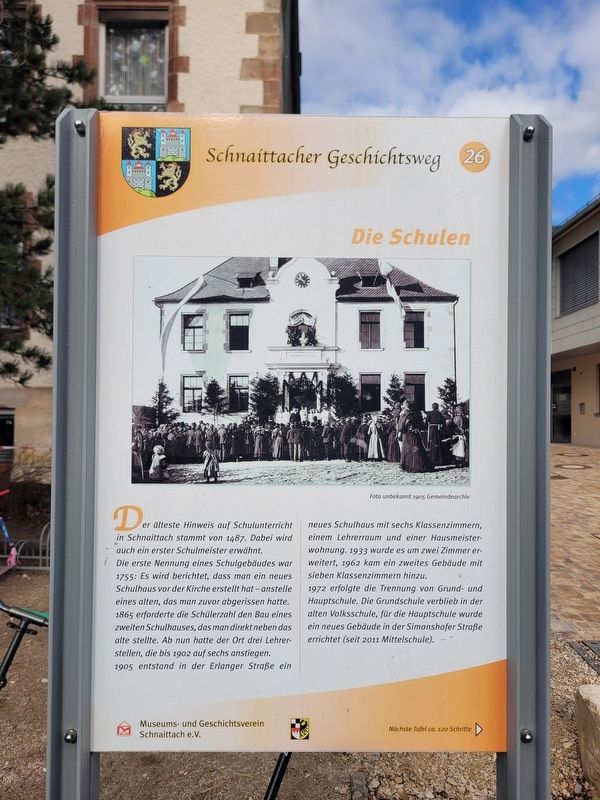
Der älteste Hinweis auf Schulunterricht in Schnaittach stammt von 1487. Dabei wird auch ein erster Schulmeister erwähnt.
Die erste Nennung eines Schulgebäudes war 1755: Es wird berichtet, dass man ein neues Schulhaus vor der Kirche erstellt hat - anstelle eines alten, das man zuvor abgerissen hatte. 1865 erforderte die Schülerzahl den Bau eines zweiten Schulhauses, das man direkt neben das alte stellte. Ab nun hatte der Ort drei Lehrerstellen, die bis 1902 auf sechs anstiegen.
1905 entstand in der Erlanger Straße ein neues Schulhaus mit sechs Klassenzimmern, einem Lehrerraum und einer Hausmeisterwohnung. 1933 wurde es um zwei Zimmer erweitert, 1962 kam ein zweites Gebäude mit sieben Klassenzimmern hinzu.
1972 erfolgte die Trennung von Grund- und Hauptschule. Die Grundschule verblieb in der alten Volksschule, für die Hauptschule wurde ein neues Gebäude in der Simonshofer Straße errichtet (seit 2011 Mittelschule).
Foto unbekannt 1905 Gemeindearchiv
The oldest reference to school instruction in Schnaittach dates from 1487, when a first schoolmaster is also mentioned.
The
this page online
In 1972 the primary school and secondary school were separated. The primary school remained in the old elementary school building, while a new building for the secondary school was constructed on Simonshofer Street (called a middle school since 2011).
Photo unknown, 1905 Municipal archive
Erected 2011 by Museum and Historical Society of Schnaittach (registered association). (Marker Number 26.)
Topics. This historical marker is listed in this topic list: Education. A significant historical year for this entry is 1487.
Location. 49° 33.606′ N,
Photographed by James Hulse
2. Die Schulen / The Schools Marker
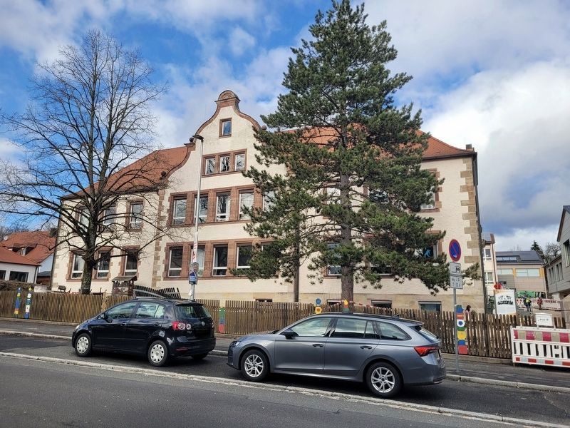
The view of the school from across the street. The marker is located at the far right of the school building.

Regionally, this marker is in German Franconia. Globally, it is in Europe, the European Union, Atlantic Europe, Central Europe, the Schengen Area, Western Europe, and the Western World. Historically, it finds itself in what was once the Holy Roman Empire and also the former West Germany.
Other nearby markers. At least 8 other markers are within walking distance of this marker: Die evangelische Kirche / The Protestant Church (within shouting distance of this marker); Das Scheunenviertel / The Barn Quarter (within shouting distance of this marker); Das alte Gemeindekrankenhaus / The Old Municipal Hospital (about 120 meters away, measured in a direct line); Der Rothenberg / Fortress Hill (about 120 meters away); Landjüdische Spuren auf den Friedhöfen in Schnaittach (about 120 meters away); Das ehemalige Kreiskrankenhaus / The Former District Hospital
Photographed by James Hulse
3. Die Schulen / The Schools Marker
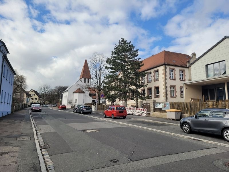
The view of the church and school along the street.
Credits. This page was last revised on March 9, 2026. It was originally submitted on March 7, 2026, by James Hulse of Medina, Texas. This page has been viewed 5 times since then. Photos: 1, 2, 3. submitted on March 9, 2026, by James Hulse of Medina, Texas.
