Schnaittach in Nürnberger Land, Bavaria, Germany — Central Europe
Das Scheunenviertel
Schnaittacher Geschichtsweg
⎯⎯⎯
The Barn Quarter
Schnaittach Historical Trail
Photographed by James Hulse, February 24, 2026
1. Das Scheunenviertel / The Barn Quarter Marker

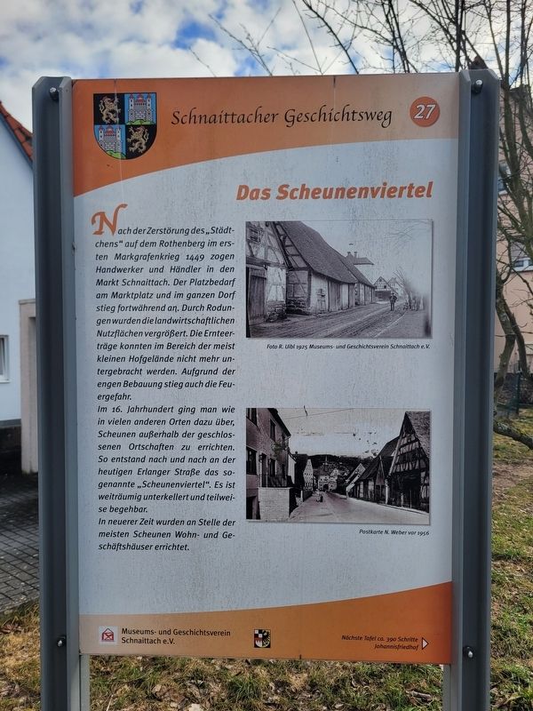
Nach der Zerstörung des „Städtchens“ auf dem Rothenberg im ersten Markgrafenkrieg 1449 zogen Handwerker und Händler in den Markt Schnaittach. Der Platzbedarf am Marktplatz und im ganzen Dorf stieg fortwährend an. Durch Rodungen wurden die landwirtschaftlichen Nutzflächen vergrößert. Die Ernteerträge konnten im Bereich der meist kleinen Hofgelände nicht mehr untergebracht werden. Aufgrund der engen Bebauung stieg auch die Feuergefahr.
Im 16. Jahrhundert ging man wie in vielen anderen Orten dazu über, Scheunen außerhalb der geschlossenen Ortschaften zu errichten. So entstand nach und nach an der heutigen Erlanger Straße das sogenannte „Scheunenviertel“. Es ist weiträumig unterkellert und teilweise begehbar.
In neuerer Zeit wurden an Stelle der meisten Scheunen Wohn- und Geschäftshäuser errichtet.
Foto R. Uibl 1925 Museums- und Geschichtsverein Schnaittach e. V.
Postkarte N. Weber vor 1956
After the destruction of the “little town” on the Rothenberg during the First Margrave War in 1449, craftsmen and merchants moved to the market town of Schnaittach. The need for space at
this page online
In the 16th century, as in many other places, people began building barns outside the compact settlement area. Gradually the so-called “Barn Quarter” developed along what is now Erlanger Street. It is extensively cellarized and partly accessible.
In more recent times, most of the barns were replaced by residential and commercial buildings.
Photo by R. Uibl, 1925 Museum and Historical Society of Schnaittach (registered association)
Postcard by N. Weber before 1956
Erected 2011 by Museum and Historical Society of Schnaittach (registered association). (Marker Number 27.)
Topics. This historical marker is listed in this topic list: Industry & Commerce. A significant historical year for this entry is 1449.
Location. 49° 33.589′ N, 11° 20.266′ E. Marker is in Schnaittach, Bayern (Bavaria), in Nürnberger Land. It is at the intersection of Erlanger Straße
Photographed by James Hulse, February 24, 2026
2. Das Scheunenviertel / The Barn Quarter Marker
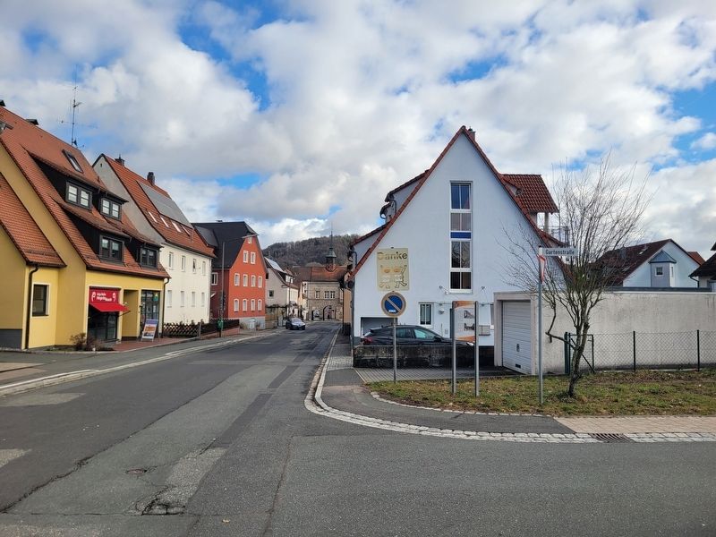
The view of the marker along the street.

Regionally, this marker is in German Franconia. Globally, it is in Europe, the European Union, Atlantic Europe, Central Europe, the Schengen Area, Western Europe, and the Western World. Historically, it finds itself in what was once the Holy Roman Empire and also the former West Germany.
Other nearby markers. At least 8 other markers are within walking distance of this marker: Die Schulen / The Schools (within shouting distance of this marker); Das Rathaus / The Town Hall (about 150 meters away, measured in a direct line); Die evangelische Kirche / The Protestant Church (about 150 meters away); Der Rothenberg / Fortress Hill (about 150 meters away); Landjüdische Spuren auf den Friedhöfen in Schnaittach (about 150 meters away); Die Kasern / The Barracks (about 150 meters away); Entwicklung zum Markt / Development into a Market Town (about 180 meters away); Die jüdischen Friedhöfe / The Jewish Cemeteries (about 180 meters away). Touch for a list and map of all markers in Schnaittach.
Credits. This page was last revised on March 9, 2026. It was originally submitted on March 7, 2026, by James Hulse of Medina, Texas. This page has been viewed 8 times since then. Photos: 1, 2. submitted on March 9, 2026, by James Hulse of Medina, Texas.
