Schnaittach in Nürnberger Land, Bavaria, Germany — Central Europe
Der obere Marktplatz
Schnaittacher Geschichtsweg
⎯⎯⎯
The Upper Market Square
Schnaittach Historical Trail
Photographed by James Hulse, February 24, 2026
1. Der obere Marktplatz / The Upper Market Square Marker

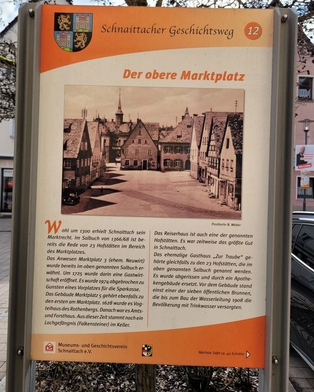
Wohl um 1300 erhielt Schnaittach sein Marktrecht. Im Salbuch von 1366/68 ist bereits die Rede von 23 Hofstätten im Bereich des Marktplatzes.
Das Anwesen Marktplatz 3 (ehem. Neuwirt) wurde bereits im oben genannten Salbuch erwähnt. Um 1725 wurde darin eine Gastwirtschaft eröffnet. Es wurde 1974 abgebrochen zugunsten eines Vorplatzes für die Sparkasse. Das Gebäude Marktplatz 5 gehört ebenfalls zu den ersten am Marktplatz. 1628 wurde es Vogteihaus des Rothenbergs. Danach war es Amts- und Forsthaus. Aus dieser Zeit stammt noch ein Lochgefängnis (Falkensteiner) im Keller.
Das Reiserhaus ist auch eine der genannten Hofstätten. Es war zeitweise das größte Gut in Schnaittach.
Das ehemalige Gasthaus „Zur Traube“ gehörte gleichfalls zu den 23 Hofstätten, die im oben genannten Salbuch genannt werden. Es wurde abgerissen und durch ein Apothekengebäude ersetzt. Vor dem Gebäude stand einst einer der sieben öffentlichen Brunnen, die bis zum Bau der Wasserleitung 1908 die Bevölkerung mit Trinkwasser versorgten.
Postkarte N. Weber
Schnaittach probably received its market rights around 1300.
this page online
The property at Marktplatz 3 (formerly the “Neuwirt” inn) was already mentioned in that register. Around 1725 an inn was opened there. It was demolished in 1974 to create a forecourt for the savings bank. The building at Marktplatz 5 is also one of the earliest buildings on the market square. In 1628 it became the bailiff’s house of Rothenberg. Later it served as an administrative and forestry office. From that time a pit prison (called the Falkensteiner) still remains in the cellar.
The Reiser House is also one of the farmsteads mentioned. At times it was the largest property in Schnaittach. The former inn “Zur Traube” also belonged to the 23 farmsteads listed in the same register. It was demolished and replaced by a pharmacy building. In front of the building once stood one of the seven public wells that supplied the population with drinking water until the construction of the water system in 1908.
Erected 2011 by Museum and Historical Society of Schnaittach (registered association). (Marker Number 12.)
Topics.
Photographed by James Hulse, February 24, 2026
2. Der obere Marktplatz / The Upper Market Square Marker
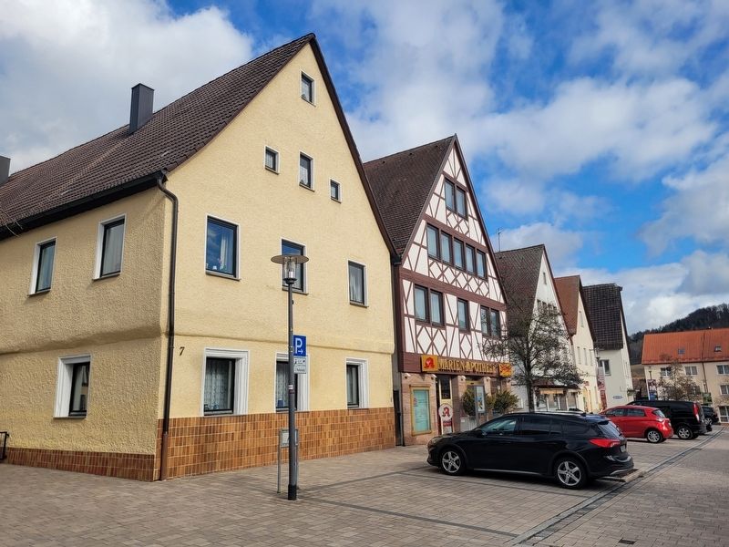
The marker is located along the building behind the black car.
Location. 49° 33.582′ N, 11° 20.423′ E. Marker is in Schnaittach, Bayern (Bavaria), in Nürnberger Land. It is on Marktplatz just west of Bayreuther Str., on the left when traveling east. Touch for map. Marker is at or near this postal address: Marktpl 9, Schnaittach BY 91220, Germany. Touch for directions.

Regionally, this marker is in German Franconia. Globally, it is in Europe, the European Union, Atlantic Europe, Central Europe, the Schengen Area, Western Europe, and the Western World. Historically, it finds itself in what was once the Holy Roman Empire and also the former West Germany.
Other nearby markers. At least 8 other markers are within walking distance of this marker: Jetta Prager (within shouting distance of this marker); Fanny Prager (within shouting distance of this marker); Der untere Marktplatz / The Lower Market Square (within shouting distance of this marker); Das Rathaus / The Town Hall (within shouting distance of this marker); Pfarrkirche St. Kunigund / Parish Church of St. Kunigund
Photographed by James Hulse
3. Der obere Marktplatz / The Upper Market Square Marker
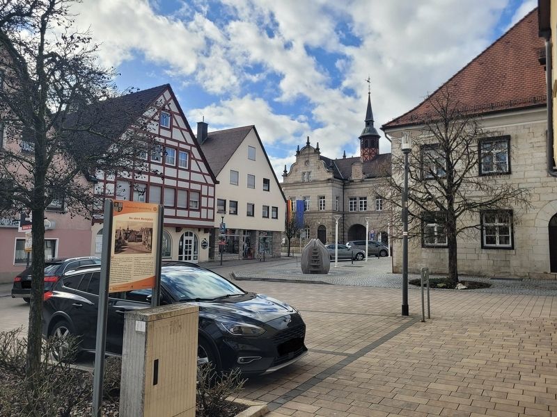
The view of marker looking toward Marktplatz street.
Credits. This page was last revised on March 9, 2026. It was originally submitted on March 7, 2026, by James Hulse of Medina, Texas. This page has been viewed 13 times since then. Photos: 1, 2, 3. submitted on March 9, 2026, by James Hulse of Medina, Texas.
