
Central St. John's in CensusDiv 1 - Avalon Peninsula-St. John's, Newfoundland and Labrador — The Atlantic Provinces (North America)
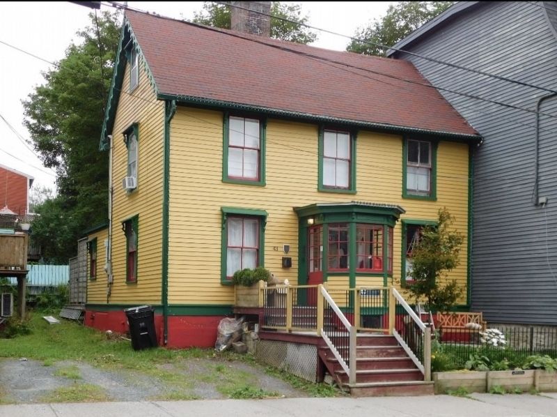
Harris Cottage
Built circa 1833

Photographed by Jimmy Emerson, July 2024
1. Harris Cottage Marker
Harris Cottage is designated a Registered Heritage Structure by Heritage NL. Find more at heritagenl.ca
Erected by Heritage Newfoundland.
Topics. This historical marker is listed in this topic list: Architecture. A significant historical year for this entry is 1833.
Location. 47° 34.214′ N, 52° 42.629′ W. Marker is in St. John's, Newfoundland and Labrador, in CensusDiv 1 - Avalon Peninsula-St. John's. It is in Central St. John's. It is on Monkstown Road, on the right when traveling east. Touch for map. Marker is at or near this postal address: 43 Monkstown Road, St John's NL A1C 3T4, Canada. Touch for directions.

Regionally, this marker is in Atlantic Canada. Globally, it is in the North Atlantic Region, North America, the Western Hemisphere, the Western World, and the Anglosphere. Historically,
this page online
Other nearby markers. At least 8 other markers are within walking distance of this marker: Rennie's Mill Road Historic District / Le District Historique de Rennie's Mill Road (approx. 0.3 kilometers away); 32 Queen's Road (approx. 0.3 kilometers away); Fort Townshend (approx. 0.4 kilometers away); Government House / Résidence Du Lieutenant-Gouverneur (approx. 0.4 kilometers away); Bannerman House (approx. half a kilometer away); Masonic Temple (approx. half a kilometer away); Gower Street United Church (approx. half a kilometer away); St. John the Baptist Anglican Cathedral (approx. 0.6 kilometers away). Touch for a list and map of all markers in St. John's.
Photographed by Jimmy Emerson, July 2024
2. Harris Cottage & Marker
Marker is below the bay windows
Credits. This page was last revised on March 9, 2026. It was originally submitted on March 8, 2026, by Jimmy Emerson of Dalton, Georgia. This page has been viewed 9 times since then. Photos: 1, 2. submitted on March 8, 2026, by Jimmy Emerson of Dalton, Georgia. • Andrew Ruppenstein was the editor who published this page.
