
Dundalk in Baltimore County, Maryland — The American Northeast (Mid-Atlantic)
At Patapsco Neck
Star-Spangled Banner National Historic Trail
| — | National Park Service, U.S. Department of the Interior | — |
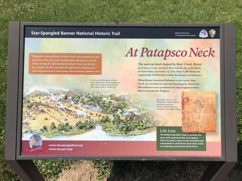
The narrow land shaped by Bear Creek, Bread and Cheese Creek, and Back River was the site of the Battle of North Point, September 12, 1814. Some 3,200 Americans clashed with 4,500 British to delay the advance on Baltimore.
When Britain threatened Baltimore a year earlier, Bear Creek was considered a potential landing spot. More than 400 militiamen were positioned at Camp Eagleston where Bear Creek joins the Patapsco. Life Line-The British used Bear Creek to provide the army with communication and support. After the battle, many of the wounded were transported in small boats down Bear Creek to troopships anchored at North Point.
“Brigadier General (John) Stricker took a good position at the junction of the two roads leading from this place to North Point, having his right flanked by Bear Creek and his left by a marsh. He here awaited the approach of the Enemy”
Major General Samuel Smith to acting Secretary of War James Monroe, September 19, 1814.
Erected by National Park Service, U.S. Department of the Interior.
Topics and series. This historical marker is listed in this topic list: War of 1812. In addition,
this page online
Location. 39° 16.649′ N, 76° 29.089′ W. Marker is in Dundalk, Maryland, in Baltimore County. It is on North Point Road east of Kimberly Road, on the right when traveling east. The marker stands on the grounds of Battle Acre Park. Touch for map. Marker is at or near this postal address: 3115 North Point Rd, Dundalk MD 21222, United States of America. Touch for directions.

Regionally, this marker is in the Baltimore Metro Region and in Central Maryland. It is also in the American Mid-Atlantic, in the Chesapeake Bay Region, and on the Eastern Seaboard. Globally, it is in the North Atlantic Region, North America, the Western Hemisphere, the Western World, and the Anglosphere. Historically, it finds itself in what was once one of the original Thirteen Colonies and also the Antebellum South.
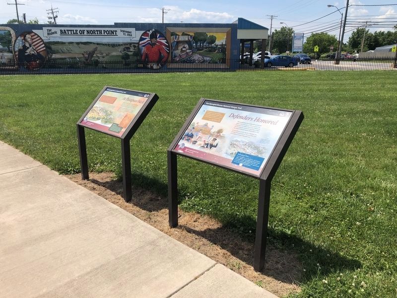
Other nearby markers. At least 8 other markers are within walking distance of this marker: Defenders Honored (here, next to this marker); Battle of North Point (here,
Photographed by Don Morfe, December 18, 2014
3. Back of the At Patapsco Neck Marker
In background is the Battle of North Point 1814 marker with the Cannon
Photographed by Don Morfe, December 18, 2014
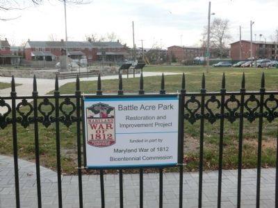
4. Battle Acre Park

Photographed by Evan Dwyer, March 7, 2026
5. At Patapsco Neck Marker
Marker is worn.
Credits. This page was last revised on March 18, 2026. It was originally submitted on December 19, 2014, by Don Morfe of Baltimore, Maryland. This page has been viewed 1,623 times since then and 64 times this year. Last updated on March 8, 2026, by Evan Dwyer of Richmond, Virginia. Photos: 1, 2. submitted on June 26, 2020, by Devry Becker Jones of Washington, District of Columbia. 3, 4. submitted on December 19, 2014, by Don Morfe of Baltimore, Maryland. 5. submitted on March 8, 2026, by Evan Dwyer of Richmond, Virginia. • Devry Becker Jones was the editor who published this page.
