Calera in Shelby County, Alabama — The American South (East South Central)
O'Neal Lime Works
Shelby County
Photographed by Jimmy Emerson, March 11, 2026
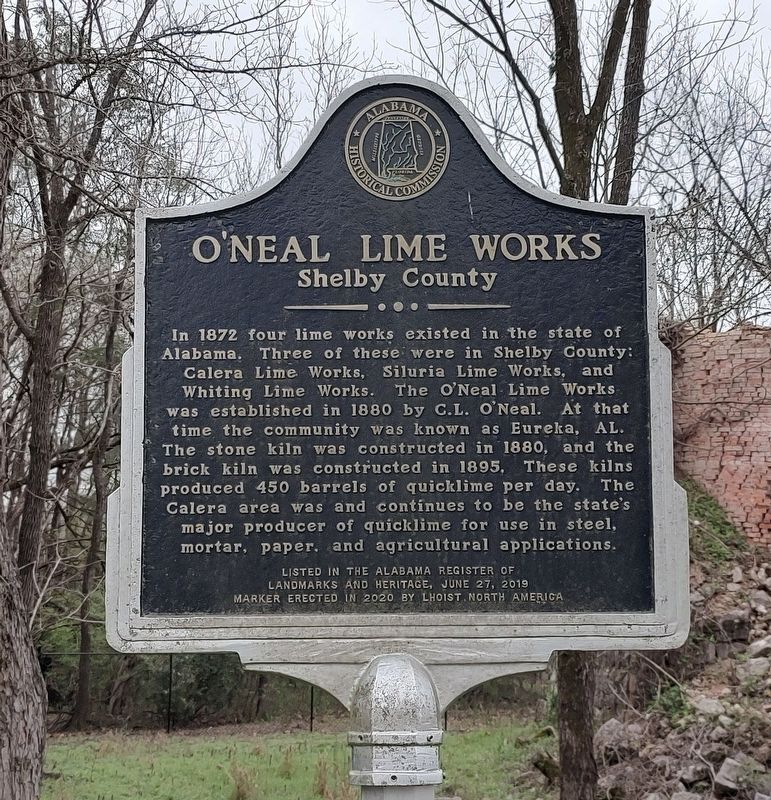
1. O'Neal Lime Works Marker
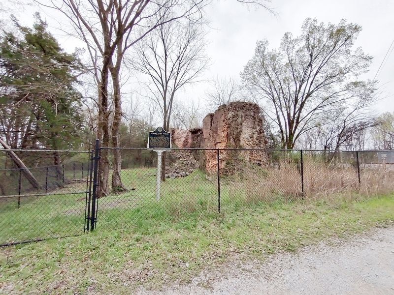
In 1872 four lime works existed in the state of Alabama. Three of these were in Shelby County: Calera Lime Works, Siluria Lime Works, and Whiting Lime Works. The O'Neal Lime Works was established in 1880 by C.L. O'Neal. At that time the community was known as Eureka, AL. The stone kiln was constructed in 1880, and the brick kiln was constructed in 1895, These kilns produced 450 barrels of quicklime per day. The Calera area was and continues to be the state's major producer of quicklime for use in steel, mortar, paper, and agricultural applications.
Listed on the Alabama Register of Landmarks and Heritage June 27, 2019.
Erected 2020 by Lhoist North America and Alabama Historical Commission.
Topics. This historical marker is listed in this topic list: Industry & Commerce. A significant historical year for this entry is 1872.
Location. 33° 9.921′ N, 86° 45.624′ W. Marker is in Calera, Alabama, in Shelby County. It is on Oak Tree Lane 0.1 miles west of U.S. 31, on the left when traveling west. Touch for map. Marker is at or near this postal address: 9 Oak Tree Lane, Calera AL 35040, United States of America.
this page online

Regionally, this marker is in the Birmingham Metropolitan Area. It is also in the American South and specifically in the Deep South. Globally, it is in North America, a Gulf of Mexico state, the Western Hemisphere, the Western World, and the Anglosphere. Historically, it finds itself in what was once New Spain, the territory of the Mississippian Culture, one of the Confederate States of America, and the Antebellum South.
Other nearby markers. At least 8 other markers are within 5 miles of this marker, measured as the crow flies: Harless Cemetery (approx. 2.6 miles away); Nabors Cemetery (approx. 3 miles away); Washington Hall / Birth of A Nation (approx. 4.3 miles away); The President's Oval Office / The Glorious Burden (approx. 4.3 miles away); The Lucille Ryals Thompson Colonial Chapel / One Nation Under God (approx. 4.3 miles away); The Liberty Bell (approx. 4.4 miles away); The Liberty Bell Garden (approx. 4.4 miles away); The Colonial Courthouse / The Stocks and Pillory (approx. 4.4 miles away).
Photographed by Jimmy Emerson, March 11, 2026
2. O'Neal Lime Works & Marker
Credits. This page was last revised on March 30, 2026. It was originally submitted on March 13, 2026, by Jimmy Emerson of Dalton, Georgia. This page has been viewed 22 times since then. Photos: 1, 2. submitted on March 13, 2026, by Jimmy Emerson of Dalton, Georgia. • James Hulse was the editor who published this page.
