
Laguna Vista in Cameron County, Texas — The American South (West South Central)
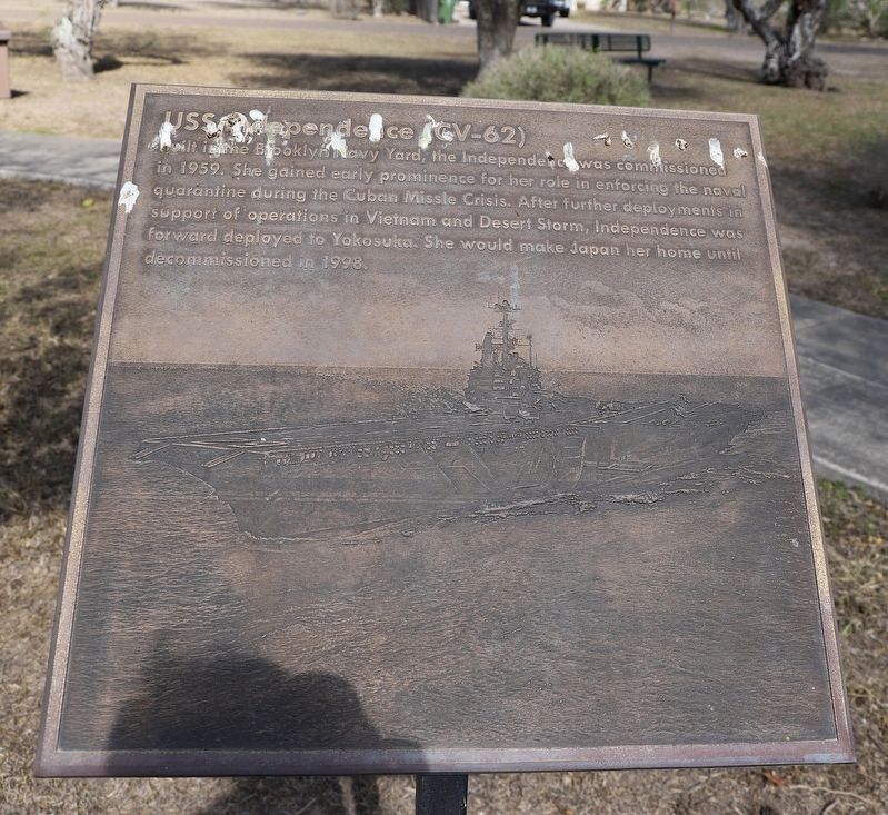
USS Independence (CV-62)
Photographed by Dave W, March 14, 2026
1. USS Independence (CV-62) Marker
Built in the Brooklyn Navy Yard, the Independence was commissioned in 1959. She gained early prominence for her role in enforcing the naval quarantine during the Cuban Missle Crisis. After further deployments in support of operations in Vietnam and Desert Storm, Independence was forward deployed to Yokosuka. She would make Japan her home until decommissioned in 1998.
Topics. This historical marker is listed in these topic lists: Patriots & Patriotism • War, 1st Iraq & Desert Storm • War, Vietnam. A significant historical year for this entry is 1959.
Location. 26° 5.994′ N, 97° 17.385′ W. Marker is in Laguna Vista, Texas, in Cameron County. It is at the intersection of Morris Street and Santa Isabel Blvd, on the left when traveling south on Morris Street. Touch for map. Marker is at or near this postal address: 323 Morris St, Port Isabel TX 78578, United States of America. Touch for directions.

Regionally, this marker is in the Rio Grande Valley and in South Texas. It is also in the American Borderlands, in the South, and on the Gulf Coast. Globally, it is in North America, a Gulf of Mexico state, the
this page online
Other nearby markers. At least 8 other markers are within 6 miles of this marker, measured as the crow flies: USS Ranger (CV-61) (a few steps from this marker); USS Constellation (CV-64) (a few steps from this marker); Laguna Vista Area Veterans Memorial (within shouting distance of this marker); Combat Wounded Veterans (about 300 feet away, measured in a direct line); Alta Vista Apartments (approx. 4.9 miles away); Port Isabel Cemetery (approx. 5.1 miles away); Site of Fort Polk (approx. 5.3 miles away); Point Isabel Lighthouse (approx. 5.3 miles away). Touch for a list and map of all markers in Laguna Vista.
Photographed by Dave W, March 14, 2026
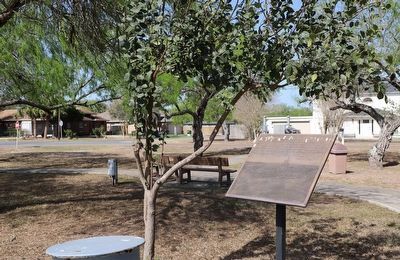
2. USS Independence (CV-62) Marker
Photographed by Dave W, March 14, 2026
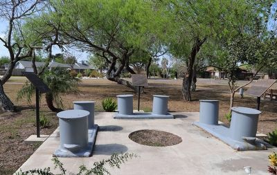
3. USS Independence (CV-62) Marker
Marker is on the right.
Credits. This page was last revised on March 21, 2026. It was originally submitted on March 20, 2026, by Dave W of Co, Colorado. This page has been viewed 16 times since then. Photos: 1, 2, 3. submitted on March 20, 2026, by Dave W of Co, Colorado. • James Hulse was the editor who published this page.
