Bainbridge Island in Kitsap County, Washington — The American West (Northwest)
85th Anniversary of our National Independence
Photographed by Mandy Maher
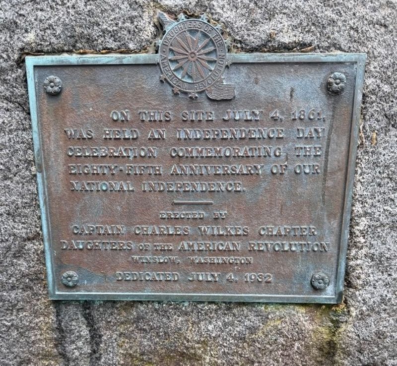
1. Marker of the 85th anniversary of our national independence.
On this site July 4, 1861, was held an Independence Day celebration commemorating the eighty-fifth anniversary of our national independence.
Erected 1932 by Captain Charles Wilkes Chapter Daughters of the American Revolution.
Topics and series. This historical marker is listed in these topic lists: Patriots & Patriotism • War, US Revolutionary. In addition, it is included in the Daughters of the American Revolution (DAR) series list. A significant historical date for this entry is July 4, 1861.
Location. 47° 42.133′ N, 122° 31.833′ W. Marker is on Bainbridge Island, Washington, in Kitsap County. It can be reached from Broom Street south of Northeast County Park Road, on the right when traveling north. Touch for map. Marker is at or near this postal address: 15350 Broom Street NE, Bainbridge Island WA 98110, United States of America. Touch for directions.

Regionally, this marker is in the Puget Sound Region and in Greater Seattle. It is also on the American Pacific Coast, in the Pacific Northwest, and in the Lewis & Clark Corridor. Globally, it is in North America, on the Ring of Fire, on the Pacific Rim, in
this page online
Other nearby markers. At least 8 other markers are within 8 miles of this marker, measured as the crow flies: Chief Seattle (approx. 2.1 miles away); Young’s Block (approx. 5.8 miles away); Hiram M. Chittenden Locks (approx. 6.6 miles away); Halverson's Dry Goods (approx. 7.1 miles away); Princess Hotel (approx. 7.1 miles away); Enquist Block (approx. 7.1 miles away); Eagle Building (approx. 7.2 miles away); Marvin Sjoberg (approx. 7.2 miles away).
More about this marker. The marker includes a DAR insignia, top center.
Photographed by Mandy Maher
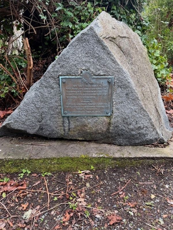
2. The marker is on a triangular boulder.
Photographed by Mandy Maher
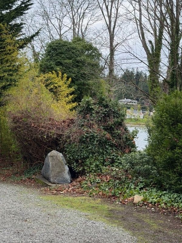
3. Wide-angle view of the marker
Photographed by Mandy Maher
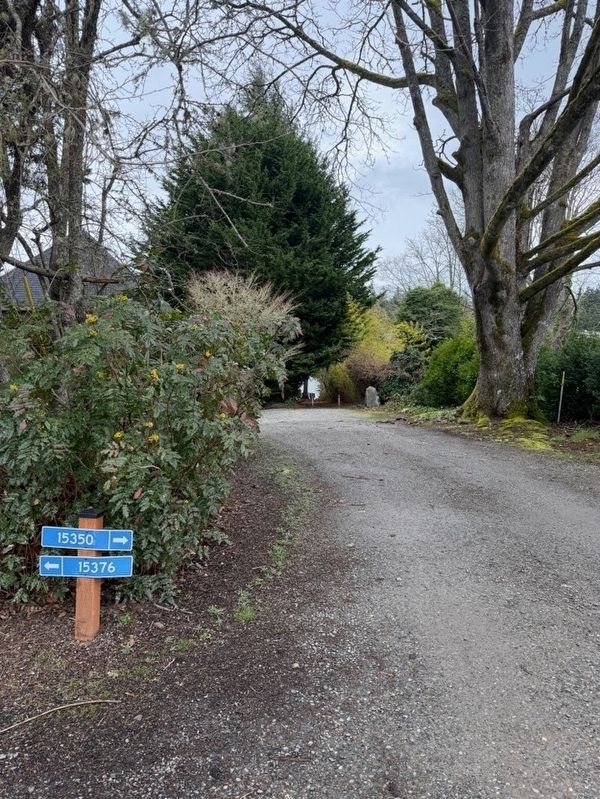
4. Looking down Broom Street
Credits. This page was last revised on March 26, 2026. It was originally submitted on March 20, 2026, by Shirley A Stirling of Lacey, Washington. This page has been viewed 46 times since then. Photos: 1, 2, 3, 4. submitted on March 20, 2026, by Shirley A Stirling of Lacey, Washington. • Devry Becker Jones was the editor who published this page.
