Findlay in Hancock County, Ohio — The American Midwest (Great Lakes)
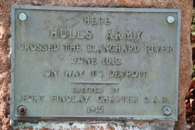
Hull's Army
Hull's Army
Crossed the Blanchard River
June 1812
On way to Detroit
Erected 1915 by Fort Findlay Chapter D.A.R.
Topics and series. This historical marker is listed in these topic lists: Military • War of 1812. In addition, it is included in the Daughters of the American Revolution series list. A significant historical month for this entry is June 1812.
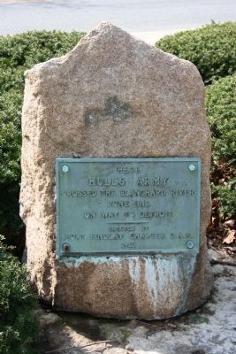
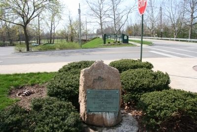
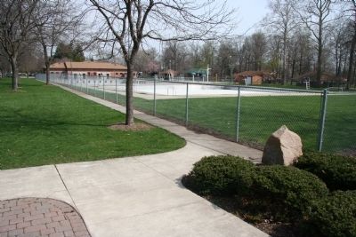
Location. 41° 2.563′ N, 83° 37.944′ W. Marker is in Findlay, Ohio, in Hancock County. Marker is at the intersection of McManness Avenue and Clinton Court, on the left when traveling south on McManness Avenue. This historical marker is located on the north side of the Blanchard River, in Riverside Park, just outside of the southwest corner of the park's swimming pool enclosure, at the entrance to the parking lot of the Riverside Landings Park. Touch for map. Marker is in this post office area: Findlay OH 45840, United States of America. Touch for directions.
Other nearby markers. At least 8 other markers are within walking distance of this marker. Riverside Park / Old Mill Stream (within shouting distance of this marker); Riverside South Entry Plaza - 1999 (within shouting distance of this marker); Allen P. Dudley Bandshell (about 300 feet away, measured in a direct line); Cloys M. Cole (about 400 feet away); Veterans Memorial (about 400 feet away); Welcome to Historic Riverside Waterfront Park (about 700 feet away); First Public Golf Course (about 800 feet away); Adding Music To The Curriculum (approx. 0.2 miles away). Touch for a list and map of all markers in Findlay.
Related markers. Click here for a list of markers that are related to this marker. To better understand the relationship, study each marker in the order shown.
Also see . . . Hull's Road. This is a link to information provided by Ohio History Central, an online encyclopedia of Ohio History. (Submitted on August 13, 2010, by Dale K. Benington of Toledo, Ohio.)
Credits. This page was last revised on June 16, 2016. It was originally submitted on April 7, 2010, by Dale K. Benington of Toledo, Ohio. This page has been viewed 1,340 times since then and 27 times this year. Photos: 1, 2, 3, 4. submitted on April 7, 2010, by Dale K. Benington of Toledo, Ohio.


