Santo in Palo Pinto County, Texas — The American South (West South Central)
First Baptist Church of Santo
Photographed by Jeff Leichsenring, March 22, 2026
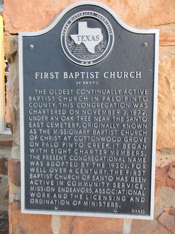
1. First Baptist Church of Santo Marker
The oldest continually active Baptist Church in Palo Pinto County, this congregation was chartered on November 3, 1872, under an oak tree near the Santo East Cemetery. Originally known as the Missionary Baptist Church of Christ at Cottonwood Grove on Palo Pinto Creek, it began with eight charter members. The present congregational name was adopted by the 1930s. For well over a century, the First Baptist Church of Santo has been active in community service, mission endeavors, associational work and the licensing and ordination of ministers.
Erected 1982 by Texas Historical Commission. (Marker Number 1673.)
Topics. This historical marker is listed in this topic list: Religion & Religious Structures. A significant historical date for this entry is November 3, 1872.
Location. 32° 36.122′ N, 98° 13.007′ W. Marker is in Santo, Texas, in Palo Pinto County. It is at the intersection of West Palo Pinto Street and Travis Street, on the right when traveling west on West Palo Pinto Street. Touch for map. Marker is at or near this postal address: 140 W Palo Pinto Street, Santo TX 76472, United States of America. Touch for directions.

Regionally,
this page online
Other nearby markers. At least 8 other markers are within 13 miles of this marker, measured as the crow flies: William Whipple Johnson (approx. 7.3 miles away); Soda Springs (approx. 11 miles away); First Baptist Church of Palo Pinto (approx. 12.3 miles away); Old County Jail (approx. 12.3 miles away); Palo Pinto Methodist Church (approx. 12.3 miles away); Site of Thurber Big Lake and Dairy (approx. 12.4 miles away); Palo Pinto Cemetery (approx. 12.4 miles away); Jonathan Hamilton Baker (approx. 12.4 miles away).
Photographed by Jeff Leichsenring, March 22, 2026
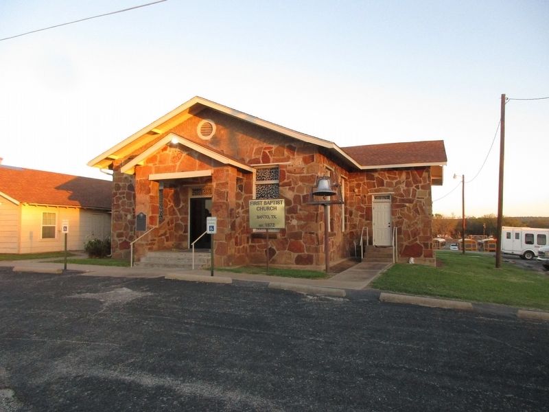
2. First Baptist Church of Santo church and marker
Credits. This page was last revised on March 23, 2026. It was originally submitted on March 22, 2026, by Jeff Leichsenring of Garland, Texas. This page has been viewed 27 times since then. Photos: 1, 2. submitted on March 22, 2026, by Jeff Leichsenring of Garland, Texas. • James Hulse was the editor who published this page.
