Near Breckenridge in Stephens County, Texas — The American South (West South Central)
Parks Camp
Photographed by Jeff Leichsenring, March 22, 2026
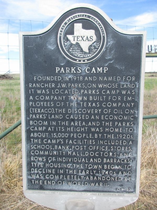
1. Parks Camp Marker
Founded in 1918 and named for rancher J.W. Parks, on whose land it was located, Parks Camp was a company town built for employees of the Texas Company (Texaco). The discovery of oil on Parks' land caused an economic boom in the area, and the Parks Camp at its height was home to about 15,000 people. By the 1920s the camp's facilities included a school, bank, post office, stores, community hall, doctors, and rows of individual and barracks-type housing. The town began to decline in the early 1940s and was completely abandoned by the end of World War II.
Erected 1990 by Texas Historical Commission. (Marker Number 3944.)
Topics. This historical marker is listed in this topic list: Settlements & Settlers.
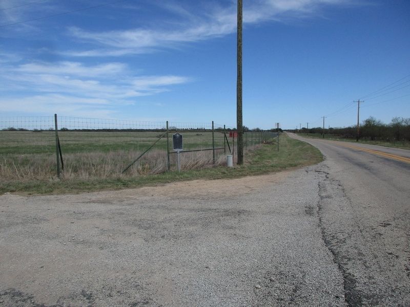
Location. 32° 39.794′ N, 98° 52.816′ W. Marker is near Breckenridge, Texas, in Stephens County. It is at the intersection of Farm to Market Road 576 and County Road 147, on the right when traveling west on Road 576. Touch for map. Marker is at or near this postal address: 1525 FM 576, Breckenridge TX 76424, United States of America. Touch for directions.

Regionally,
this page online
Other nearby markers. At least 8 other markers are within 7 miles of this marker, measured as the crow flies: Wayland School (approx. 4.9 miles away); B.T. Brown House (approx. 5.4 miles away); Breckenridge Cemetery (approx. 6 miles away); First Baptist Church of Breckenridge (approx. 6.4 miles away); Old First National Bank Building (approx. 6½ miles away); Breckenridge Stephens Walker (approx. 6½ miles away); Stephens County Courthouse (approx. 6½ miles away); Walter Prescott Webb's Formative Years (approx. 6½ miles away). Touch for a list and map of all markers in Breckenridge.
Photographed by Jeff Leichsenring, March 22, 2026
2. Parks Camp Marker
Credits. This page was last revised on March 23, 2026. It was originally submitted on March 22, 2026, by Jeff Leichsenring of Garland, Texas. This page has been viewed 28 times since then. Photos: 1, 2. submitted on March 22, 2026, by Jeff Leichsenring of Garland, Texas. • James Hulse was the editor who published this page.
