Wayland in Stephens County, Texas — The American South (West South Central)
Wayland School
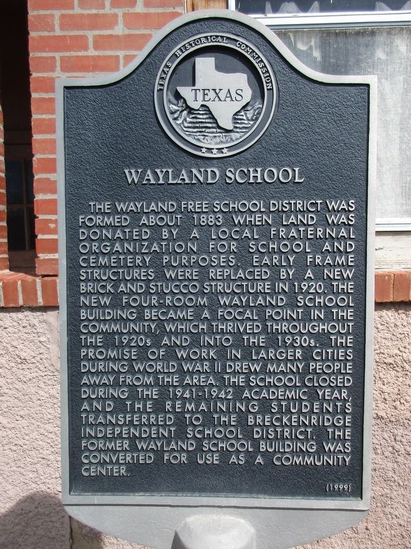
Photographed by Jeff Leichsenring, March 22, 2026
1. Wayland School Marker
The Wayland Free School District was formed about 1883 when land was donated by a local fraternal organization for school and cemetery purposes. Early frame structures were replaced by a new brick and stucco structure in 1920. The new four-room Wayland School building became a focal point in the community, which thrived throughout the 1920s and into the 1930s. The promise of work in larger cities during World War II drew many people away from the area. The school closed during the 1941-1942 academic year, and the remaining students transferred to the Breckenridge Independent School District. The former Wayland School building was converted for use as a community center.
Erected 1999 by Texas Historical Commission. (Marker Number 12200.)
Topics. This historical marker is listed in this topic list: Education. A significant historical year for this entry is 1883.
Location. 32° 36.502′ N, 98° 49.705′ W. Marker is in Wayland, Texas, in Stephens County. It is on Farm to Market Road 1852 0.2 miles north of County Road 153, on the right when traveling north. Touch for map. Marker is at or near this postal address: 10276 FM1852,
this page online

Regionally, this marker is in Big Country. Globally, it is in North America, a Gulf of Mexico state, the Western Hemisphere, the Western World, and the Anglosphere. Historically, it finds itself in what was once New Spain, the Comanchería, the Republic of Texas, and one of the Confederate States of America.
Other nearby markers. At least 8 other markers are within 11 miles of this marker, measured as the crow flies: Parks Camp (approx. 4.9 miles away); Half-Way Oak (approx. 4.9 miles away); Gunsight Community (approx. 5.4 miles away); Mount Zion Cemetery (approx. 7.2 miles away); New Hope Baptist Church (approx. 9 miles away); B.T. Brown House (approx. 10 miles away); Breckenridge Cemetery (approx. 10.4 miles away); Bullock Cemetery (approx. 10½ miles away).
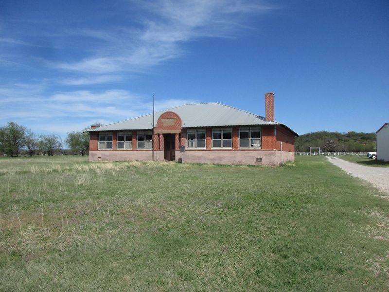
Photographed by Jeff Leichsenring, March 22, 2026
2. Wayland School Marker
Credits. This page was last revised on March 23, 2026. It was originally submitted on March 22, 2026, by Jeff Leichsenring of Garland, Texas. This page has been viewed 25 times since then. Photos: 1, 2. submitted on March 22, 2026, by Jeff Leichsenring of Garland, Texas. • James Hulse was the editor who published this page.
