Heuchling in Lauf an der Pegnitz in Nürnberger Land, Bavaria, Germany — Central Europe
Altes Rathaus
⎯⎯⎯
Old Town Hall
Photographed by James Hulse, March 3, 2026
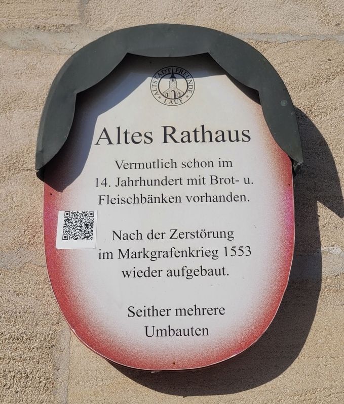
1. Altes Rathaus / Old Town Hall Marker

Vermutlich schon im
14. Jahrhundert mit Brot- u.
Fleischbänken vorhanden.
Nach der Zerstörung
im Markgrafenkrieg 1553
wieder aufgebaut.
Seither mehrere
Umbauten.
Old Town Hall. Probably already existed in the 14th century with bread and meat stalls. Rebuilt after its destruction in the Margrave War of 1553. Several remodelings since then.
Erected by Old Town Friends of Lauf e.V. (Marker Number 14.)
Topics. This historical marker is listed in this topic list: Notable Buildings. A significant historical year for this entry is 1553.
Location. 49° 30.704′ N, 11° 16.874′ E. Marker is in Lauf an der Pegnitz, Bayern (Bavaria), in Nürnberger Land. It is in Heuchling. It is at the intersection of Marktplatz and Burggasse, on the left when traveling east on Marktplatz. Touch for map. Marker is at or near this postal address: Marktpl 1, Lauf an der Pegnitz BY 91207, Germany. Touch for directions.

Regionally, this marker is in German Franconia. Globally, it is in Europe, the European Union, Atlantic Europe, Central Europe, the Schengen Area, Western Europe, and the Western World. Historically, it finds itself in what was once the Holy Roman Empire and also the former West Germany.
Other nearby markers. At least 8 other markers are within walking distance of this marker: Thomas Alva Edison (within shouting distance of this marker); Prof. Dr. jur. Hermann Roesler (within shouting distance of this marker); Jan Hus (about 90 meters away, measured in a direct line); Glockengießerspital mit St. Leonhardskirche / Glockengießer Hospital with St. Leonhard’s Church
this page online
Also see . . . Old Town Stroll Sign 14 – Why does Lauf have two town halls? (German language). Excerpt (in translation):
In the Middle Ages, the first town halls developed in connection with the granting of city rights as multi-purpose buildings and the most important secular buildings in cities – as was the case in Lauf. Its location points to its origin in the 13th century according to the so-called "Bavarian scheme".(Submitted on March 24, 2026, by James Hulse of Medina, Texas.)
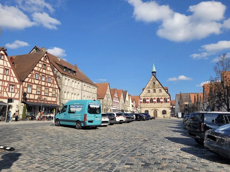
The market town of Lauf lies on an important trade route, which at this point widens into a broad street market, in the center of which stands the freestanding town hall. It was not situated on the edge, set back from the row of burgher houses, but rather prominently and unmistakably in the center of the square, serving as the central location for council meetings, city government, court sessions, and as a market hall.
Photographed by James Hulse, March 3, 2026
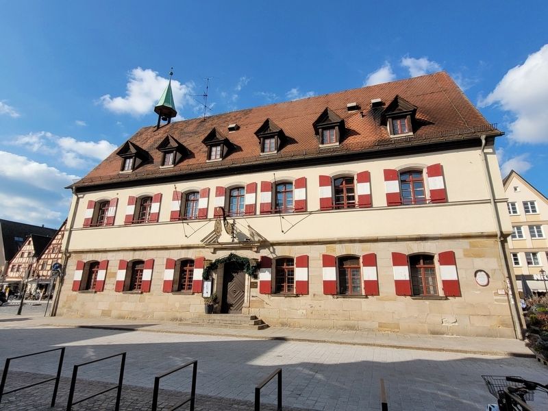
2. Altes Rathaus / Old Town Hall Marker
The view of the south side of the building.
Photographed by James Hulse, March 3, 2026
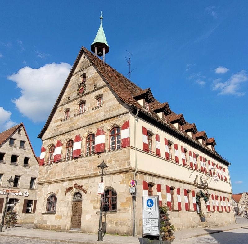
3. Altes Rathaus / Old Town Hall Marker
The view of the western side of the building.
Photographed by James Hulse
4. Altes Rathaus / Old Town Hall Marker
The view of the Altes Rathaus building with the parking lot in the foreground.
Credits. This page was last revised on March 26, 2026. It was originally submitted on March 24, 2026, by James Hulse of Medina, Texas. This page has been viewed 50 times since then. Photos: 1, 2, 3, 4. submitted on March 26, 2026, by James Hulse of Medina, Texas.
