Rhodhiss in Caldwell County, North Carolina — The American South (South Atlantic)
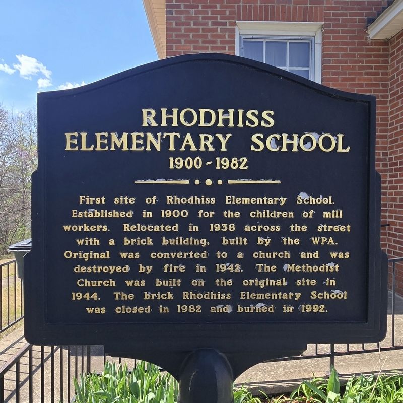
Rhodhiss Elementary School
1900-1982
Photographed by Mark Parker, March 22, 2026
1. Rhodhiss Elementary School Marker
Topics. This historical marker is listed in these topic lists: Education • Religion & Religious Structures. A significant historical year for this entry is 1900.
Location. 35° 46.717′ N, 81° 25.741′ W. Marker is in Rhodhiss, North Carolina, in Caldwell County. It is at the intersection of Church Street and Park Avenue, on the right when traveling south on Church Street. Touch for map. Marker is at or near this postal address: 102 Church St, Rhodhiss NC 28667, United States of America. Touch for directions.

Regionally, this marker is in North Carolina’s Mountains. It is also in the American South, specifically in the Upper South, in Appalachia, and specifically in Southern Appalachia. Globally, it is in North America, the Western Hemisphere,
this page online
Other nearby markers. At least 8 other markers are within 4 miles of this marker, measured as the crow flies: Granite Falls 9/11 Memorial (approx. 1.3 miles away); Bank of Granite Time Capsule (approx. 1.4 miles away); P-3 Orion (approx. 3.4 miles away); Sikorsky SH-3H Sea King (approx. 3.4 miles away); Grumman OV-1D Mohawk (approx. 3.4 miles away); Lockheed T-33 "Shooting Star" (approx. 3.4 miles away); Grumman F-14D "Tomcat" (approx. 3.4 miles away); Grumann F-9 "Cougar" (approx. 3.4 miles away).
Photographed by Mark Parker, March 22, 2026
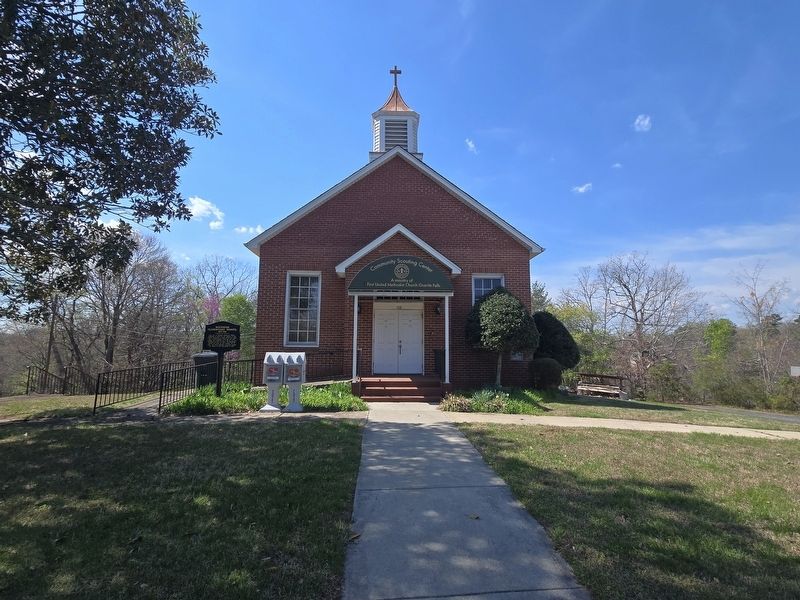
2. Rhodhiss Elementary School Marker in front of the Community Scouting Center
Credits. This page was last revised on April 6, 2026. It was originally submitted on March 24, 2026, by Mark Parker of Hickory, North Carolina. This page has been viewed 26 times since then. Photos: 1, 2. submitted on March 24, 2026, by Mark Parker of Hickory, North Carolina. • Bernard Fisher was the editor who published this page.
