Mount Joy in Lancaster County, Pennsylvania — The American Northeast (Mid-Atlantic)
The Springville Inn
On the 1858 map
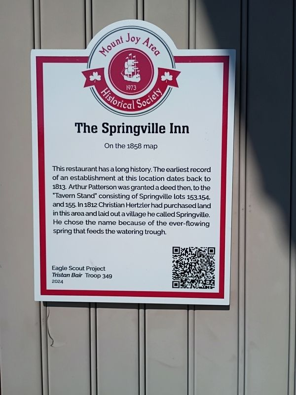
Photographed by William Pope, February 28, 2026
1. The Springville Inn Marker
Erected 2024 by Eagle Scout Project Tristan Bair Troop 349.
Topics. This historical marker is listed in these topic lists: Fraternal or Sororal Organizations • Industry & Commerce • Settlements & Settlers. A significant historical year for this entry is 1813.
Location. 40° 6.915′ N, 76° 31.438′ W. Marker is in Mount Joy, Pennsylvania, in Lancaster County. It is at the intersection of West Main Street (Pennsylvania Route 230) and North Plum Street, on the right when traveling west on West Main Street. Touch for map. Marker is at or near this postal address: 905 West Main Street, Mount Joy PA 17552, United States of America. Touch for directions.

Regionally, this marker is in South-Central Pennsylvania,
this page online
Other nearby markers. At least 8 other markers are within walking distance of this marker: Florin World War Heroes (a few steps from this marker); a different marker also named Florin World War Heroes (a few steps from this marker); Florin (approx. 0.4 miles away); Gerberich-Payne Shoe Company (approx. 0.8 miles away); Old Standby Park (approx. 0.8 miles away); The Old Bethel Church (approx. 0.9 miles away); Clarence Schock (approx. 0.9 miles away); Clarence Schock Foundation (approx. 0.9 miles away). Touch for a list and map of all markers in Mount Joy.
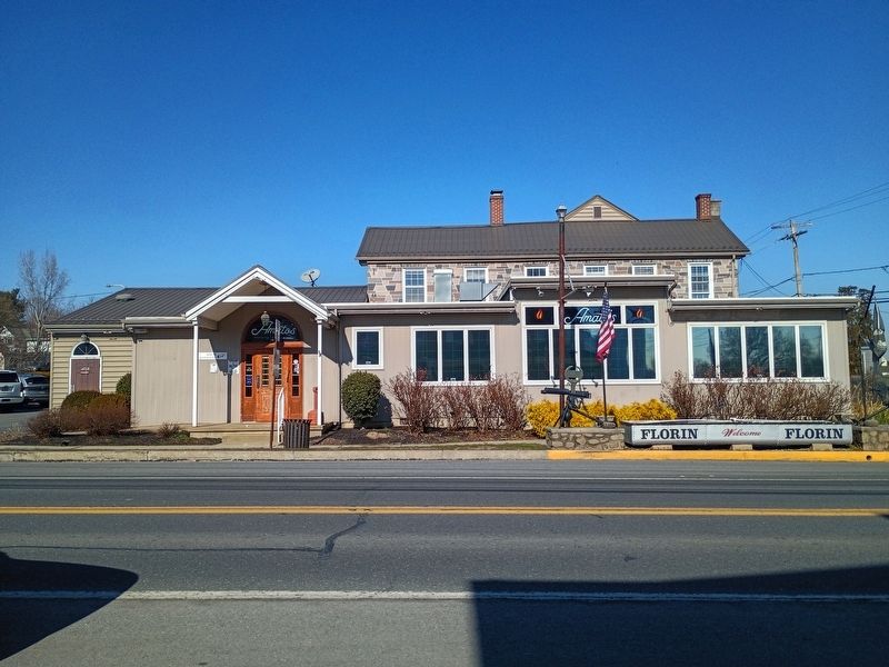
Photographed by William Pope, February 28, 2026
2. The Springville Inn Marker
Credits. This page was last revised on March 25, 2026. It was originally submitted on March 24, 2026, by William Pope of Marietta, Pennsylvania. This page has been viewed 14 times since then. Photos: 1, 2. submitted on March 24, 2026, by William Pope of Marietta, Pennsylvania. • Bill Pfingsten was the editor who published this page.
