Brooklyn Heights in Kings County, New York — The American Northeast (Mid-Atlantic)
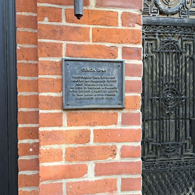
Circa 1846
Photographed by Jack DePalma, September 28, 2025
1. Circa 1846 Marker
Circa 1846 Originally this building served as a carriage house and stable for number 13. In 1913 it became a garage with living quarters above. It has been a one family residence since 1935.
Topics. This historical marker is listed in this topic list: Notable Buildings. A significant historical year for this entry is 1846.
Location. 40° 41.595′ N, 73° 59.763′ W. Marker is in Brooklyn, New York, in Kings County. It is in Brooklyn Heights. It is at the intersection of Joralemon Street and Garden Place, on the left when traveling west on Joralemon Street. Touch for map. Marker is at or near this postal address: 90 Joralemon St, Brooklyn NY 11201, United States of America. Touch for directions.

Regionally, this marker is in New York City and on Long Island. It is also in the American Northeast, in the Mid-Atlantic, and on the Eastern Seaboard. Globally, it is in the North Atlantic Region, North America, the Western Hemisphere, the Western World, and the Anglosphere. Historically, it finds itself in what was once New Netherland and also one of the original Thirteen Colonies.
Other nearby markers. At least 8 other
this page online
Photographed by Jack DePalma, September 28, 2025
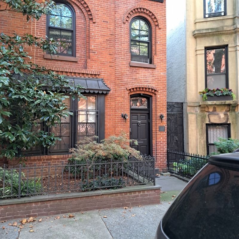
2. Garden Place Stable House
Credits. This page was last revised on March 24, 2026. It was originally submitted on March 24, 2026, by Jack DePalma of Brooklyn,NY, New York. This page has been viewed 36 times since then. Photos: 1. submitted on October 3, 2025, by Jack DePalma of Brooklyn,NY, New York. 2. submitted on September 28, 2025, by Jack DePalma of Brooklyn,NY, New York. • Devry Becker Jones was the editor who published this page.
