Hanover in Hennepin County, Minnesota — The American Midwest (Upper Plains)
Bridge No. 92366—Hanover Pratt Through Truss Bridge
Photographed by McGhiever, July 21, 2015
1. Bridge No. 92366—Hanover Pratt Through Truss Bridge Marker
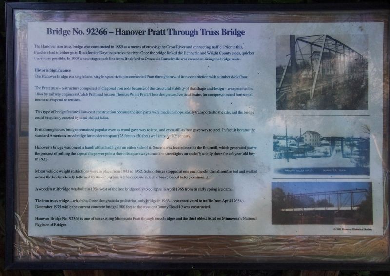
The Hanover iron truss bridge was constructed in 1885 as a means of crossing the Crow River and connecting traffic. Prior to this, travelers had to either go to Rockford or Dayton to cross the river. Once the bridge linked the Hennepin and Wright County sides, quicker travel was possible. In 1909 a new stagecoach line from Rockford to Osseo via Burschville was created utilizing the bridge route.
Historic Significance
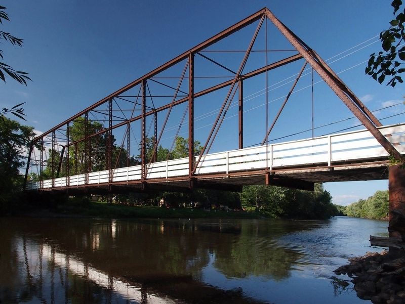
The Hanover Bridge is a single lane, single-span, rivet pin-connected Pratt through truss of iron construction with a timber deck floor.
The Pratt truss—a structure composed of diagonal iron rods because of the structural stability of that shape and design—was patented in 1844 by railway engineers Caleb Pratt and his son Thomas Willis Pratt. Their design used vertical beams for compression and horizontal beams to respond to tension.
This type of bridge featured low-cost construction because the iron parts were made in shops, easily transported to the site, and the bridge could be quickly erected by semi-skilled labor.
Pratt through truss bridges remained popular even as wood gave way to iron,
this page online
Hanover's bridge was one of a handful that had lights on either side of it. Since it was located next to the flourmill, which generated power, the process of pulling the rope at the power pole a short distance away turned the streetlights on and off; a daily chore for a 6-year-old boy in 1932.
Motor vehicle weight restrictions were in place from 1943 to 1952. School buses stopped at one end; the children disembarked and walked across the bridge closely followed by the empty bus. At the opposite side, the bus reloaded before continuing.
A wooden stilt bridge was built in 1954 west of the iron bridge only to collapse in April 1965 from an early spring ice dam.
The iron truss bridge—which had been designated a pedestrian-only bridge in 1963—was reactivated to traffic from April 1965 to December 1975 while the current concrete bridge 1500 feet to the west on County Road 19 was constructed.
Hanover Bridge No. 92366 is one of ten existing Minnesota Pratt through
Photographed by McGhiever, June 19, 2025
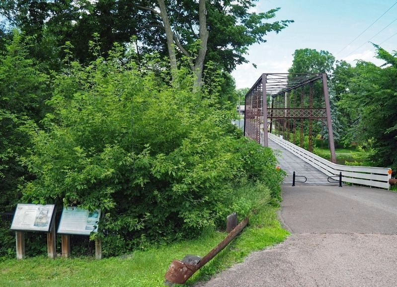
2. Marker (rightmost at lower left) and the Hanover Bridge
Erected by Hanover Historical Society.
Topics. This historical marker is listed in this topic list: Bridges & Viaducts. A significant historical year for this entry is 1885.
Location. 45° 9.17′ N, 93° 39.716′ W. Marker is in Hanover, Minnesota, in Hennepin County. It is on 109th Avenue N. (County Road 19), on the right when traveling west. Touch for map. Marker is at or near this postal address: 29953 109th Avenue N, Hanover MN 55341, United States of America. Touch for directions.

Regionally, this marker is in the Twin Cities Metropolitan Area. It is also in the American Midwest, in the Corn Belt, and in the Great River Road Region. Globally, it is in North America, the Western Hemisphere, the Western World, and the Anglosphere. Historically, it finds itself in what was once Rupert’s Land, the territory of the Mississippian Culture, and the Louisiana Purchase.
Other nearby markers. At least 8 other markers are within 10 miles of this marker, measured as the crow flies: Hanover Bridge No. 92366 (here, next to this marker); Historic 1885 Hanover Bridge
Photographed by McGhiever, July 21, 2015
3. The Hanover Bridge
Credits. This page was last revised on March 27, 2026. It was originally submitted on March 27, 2026, by McGhiever of Minneapolis, Minnesota. This page has been viewed 19 times since then. Photos: 1. submitted on March 27, 2026, by McGhiever of Minneapolis, Minnesota. 2, 3. submitted on August 8, 2025, by McGhiever of Minneapolis, Minnesota.
