Glen Waverley in Monash, Victoria, Australia — Oceania
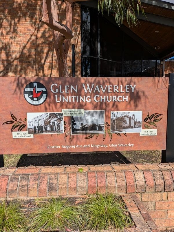
Glen Waverley Uniting Church
Photographed by Dean Barton-Ancliffe, March 29, 2026
1. Glen Waverley Uniting Church Marker
1866-1962 Methodist Church
1956-1991 Presbyterian Church
1962-1991 Methodist Church
Corner Bogong Ave and Kingsway, Glen Waverley
Erected by Glen Waverley Uniting Church.
Topics. This historical marker is listed in this topic list: Religion & Religious Structures.
Location. 37° 52.923′ S, 145° 9.786′ E. Marker is in Glen Waverley, Victoria, in Monash. It is at the intersection of Bogong Avenue and Kingsway, on the left when traveling west on Bogong Avenue. Touch for map. Marker is at or near this postal address: 10-12 Bogong Avenue, Glen Waverley VIC 3150, Australia. Touch for directions.

Regionally, it is in Oceania, in Australasia, in the Pacific Ocean, in South Pacific, on the Pacific Rim, in the Western World, and in the Anglosphere. Historically, it finds itself in what was once a British colony.
Other nearby markers. At least 8 other markers are within 8 kilometers of this marker, measured as the crow flies: Honour Roll World War II (about 90 meters away, measured in a direct line); Shire of Mulgrave Honour Roll Cenotaph (about 90 meters
this page online
Regarding Glen Waverley Uniting Church. The Marker displays three photos, which show the evolution of the church buildings through the years
Photographed by Dean Barton-Ancliffe, March 29, 2026
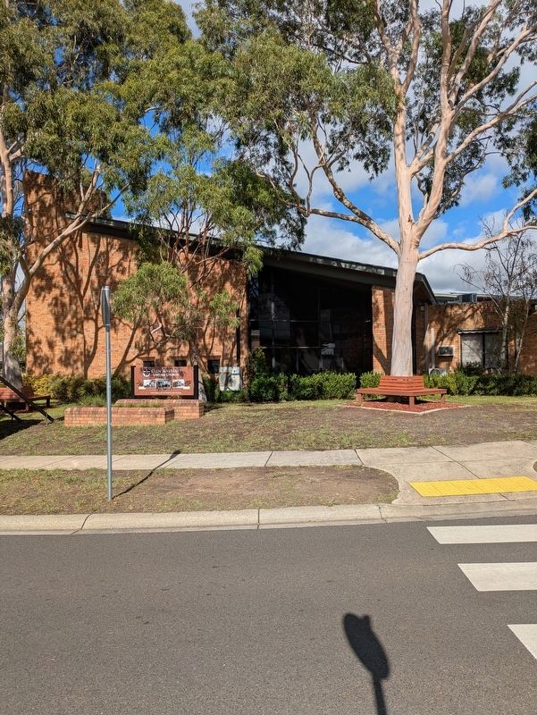
2. Glen Waverley Uniting Church
Credits. This page was last revised on March 29, 2026. It was originally submitted on March 28, 2026, by Dean Barton-Ancliffe of Rowville, Victoria. This page has been viewed 20 times since then. Photos: 1, 2. submitted on March 28, 2026, by Dean Barton-Ancliffe of Rowville, Victoria. • Andrew Ruppenstein was the editor who published this page.
