Annapolis in Anne Arundel County, Maryland — The American Northeast (Mid-Atlantic)
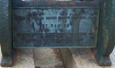
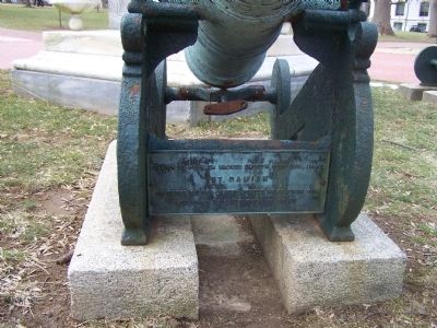
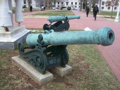
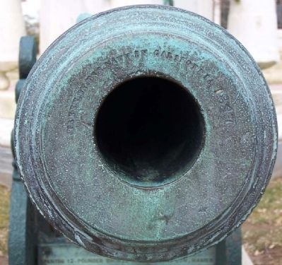
St. Damian
Topics. This historical marker is listed in these topic lists: Military • War, Mexican-American. A significant historical year for this entry is 1847.
Location. 38° 58.967′ N, 76° 29.101′ W. Marker is in Annapolis, Maryland, in Anne Arundel County. Located on the grounds of the United States Naval Academy, on Stribling Walk between Maryland Avenue and Bancroft Hall. Touch for map. Marker is in this post office area: Annapolis MD 21402, United States of America. Touch for directions.
Other nearby markers. At least 8 other markers are within walking distance of this marker. Mexican War Midshipmen's Monument (here, next to this marker); El Neptuno (here, next to this marker); St. Joseph (here, next to this marker); One Hundredth Anniversary of the U.S. Naval Academy (within shouting distance of this marker); On this spot (about 300 feet away, measured in a direct line); Joseph Nicholson Home Site and Bandstand (about 300 feet away); The Markers on the Plaza (about 300 feet away); Zimmerman Bandstand (about 300 feet away). Touch for a list and map of all markers in Annapolis.
Also see . . . The Mexican–American War- California Campaign. January 9, 1847, the Americans fought and won the Battle of La Mesa. On January 12, the last significant body of Californios surrendered to U.S. forces. That marked the end of armed resistance in California, and the Treaty of Cahuenga was signed the next day, on January 13, 1847. (Submitted on April 9, 2010, by Mike Stroud of Bluffton, South Carolina.)
Credits. This page was last revised on June 16, 2016. It was originally submitted on April 9, 2010, by Mike Stroud of Bluffton, South Carolina. This page has been viewed 813 times since then and 9 times this year. Photos: 1, 2, 3, 4. submitted on April 9, 2010, by Mike Stroud of Bluffton, South Carolina. • Kevin W. was the editor who published this page.


