
Pullman in Chicago in Cook County, Illinois — The American Midwest (Great Lakes)
The Arcade

Photographed by Daniel Barriball, March 21, 2026
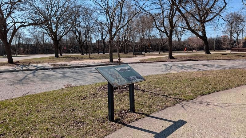
1. The Arcade Marker
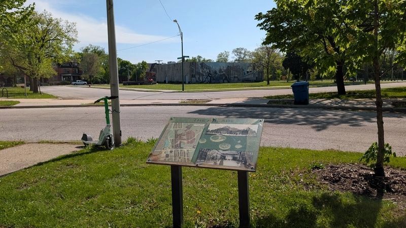
The Arcade (b. 1881-82) was the largest public building in the town of Pullman, serving as its social and commercial heart. Among the first indoor malls, the three-story building reached 90 feet in height and cost $318,000. The Pullman Arcade contained privately operated stores, a post office, library, 1,000-seat theater, the first home of the Pullman Trust & Savings Bank, barbershops, the Pullman Land Association office, the Young Men's Christian Association (of which George Pullman was a founder), offices rented to professionals, and lodge rooms rented to social clubs and religious organizations. The building was demolished circa late 1920's.
Erected by Pullman Civic Organization.
Topics. This historical marker is listed in these topic lists: Architecture • Entertainment • Fraternal or Sororal Organizations • Industry & Commerce. A significant historical year for this entry is 1882.
Location. 41° 41.521′ N, 87° 36.549′ W. Marker is in Chicago, Illinois, in Cook County. It is in Pullman. It is at the intersection of South Forrestville Avenue and East 111th Place, on the right when traveling north on
this page online

Regionally, this marker is in the American Midwest. Globally, it is in North America, on the Great Lakes, in the Western Hemisphere, in the Western World, and in the Anglosphere. Historically, it finds itself in what was once the Viceroyalty of New France, the territory of the Mississippian Culture, and the Northwest Territory.
Other nearby markers. At least 8 other markers are within walking distance of this marker: Pullman 1894 Strike Memorial Rose & Herb Garden (within shouting distance of this marker); Lake Vista & Illinois Central Railroad Depot (within shouting distance of this marker); Arcade Park & The Pullman Stables (within shouting distance of this marker); Welcome to Pullman (about 400 feet away, measured in a direct line); The Workers' Main Gate (about 400 feet away); a different marker also named Welcome to Pullman

Courtesy of Thomas P. Martin, June 28, 2016
2. The Arcade Marker
This is a previous iteration of the marker with an identical inscription but different photos.
Also see . . . The Arcade. History and photographs of the building, it was the largest non-manufacturing building in town, covering an acre. (Pullman Musem) (Submitted on March 25, 2022, by Duane and Tracy Marsteller of Murfreesboro, Tennessee.)
Photographed by Daniel Barriball, March 21, 2026
3. The Arcade Marker in context
Pullman Park is behind the marker across the street.

Photographed by Jeff Leichsenring, September 14, 2025
4. The Arcade Marker

Unknown via Northern Illinois University Digital Library (public domain), 1894
5. The Arcade
Illinois National Guard soldiers stand in front of the Arcade during the Pullman strike in 1894.
Photographed by Daniel Barriball, April 26, 2026
6. The Arcade Marker looking toward the site of the Arcade
The Arcade once stood on the site now occupied by the Pullman Exhibit Hall—the building with the mural.
Credits. This page was last revised on May 4, 2026. It was originally submitted on March 25, 2022, by Duane and Tracy Marsteller of Murfreesboro, Tennessee. This page has been viewed 626 times since then and 88 times this year. Last updated on April 1, 2026, by Daniel Barriball of Chesterton, Indiana. Photos: 1. submitted on April 1, 2026, by Daniel Barriball of Chesterton, Indiana. 2. submitted on March 25, 2022, by Duane and Tracy Marsteller of Murfreesboro, Tennessee. 3. submitted on April 1, 2026, by Daniel Barriball of Chesterton, Indiana. 4. submitted on September 18, 2025, by Jeff Leichsenring of Garland, Texas. 5. submitted on March 25, 2022, by Duane and Tracy Marsteller of Murfreesboro, Tennessee. 6. submitted on April 27, 2026, by Daniel Barriball of Chesterton, Indiana. • Devry Becker Jones was the editor who published this page.
Editor’s want-list for this marker. Wide shot of marker and surrounding area in context. • Can you help?
