Quinton in Jefferson County, Alabama — The American South (East South Central)
West Jefferson High School
Jefferson County
Photographed by Jimmy Emerson, March 29, 2026
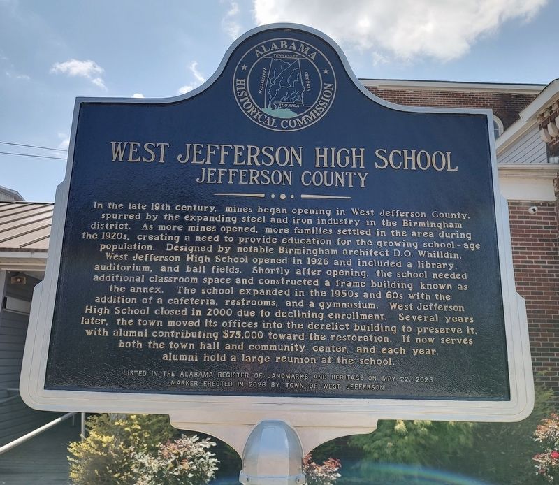
1. West Jefferson High School Marker
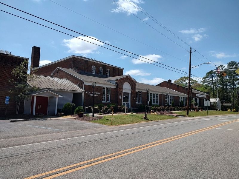
In the late 19th century, mines began opening in West Jefferson County, spurred by the expanding steel and iron industry in the Birmingham district. As more mines opened, more families settled in the area during the 1920s, creating a need to provide education for the growing school-age population. Designed by notable Birmingham architect D.O. Whilldin, West Jefferson High School opened in 1926 and included a library, auditorium, and ball fields. Shortly after opening, the school needed additional classroom space and constructed a frame building known as the annex. The school expanded in the 1950s and 60s with the addition of a cafeteria, restrooms, and a gymnasium. West Jefferson High School closed in 2000 due to declining enrollment. Several years later, the town moved its offices into the derelict building to preserve it, with alumni contributing $75,000 toward the restoration. It now serves both the town hall and community center, and each year, alumni hold a large reunion at the school.
Erected 2026 by Town of West Jefferson
this page online
Topics. This historical marker is listed in these topic lists: Architecture • Education • Industry & Commerce. A significant historical year for this entry is 1926.
Location. 33° 38.957′ N, 87° 4.47′ W. Marker is in Quinton, Alabama, in Jefferson County. It is at the intersection of West Jefferson Road and Freewill Drive, on the left when traveling west on West Jefferson Road. Touch for map. Marker is at or near this postal address: 7000 W Jefferson Rd, Quinton AL 35130, United States of America. Touch for directions.

Regionally, this marker is in the Birmingham Metropolitan Area. It is also in the American South and specifically in the Deep South. Globally, it is in North America, a Gulf of Mexico state, the Western Hemisphere, the Western World, and the Anglosphere. Historically, it finds itself in what was once the territory of the Mississippian Culture, one of the Confederate States of America, and the Antebellum South.
Other nearby markers. At least 8 other markers are within 13 miles of this marker, measured as the crow flies: Downtown Graysville (approx. 6 miles away);
Photographed by Jimmy Emerson, March 29, 2026
2. West Jefferson High School & Marker
Credits. This page was last revised on April 2, 2026. It was originally submitted on April 1, 2026, by Jimmy Emerson of Dalton, Georgia. This page has been viewed 30 times since then. Photos: 1, 2. submitted on April 1, 2026, by Jimmy Emerson of Dalton, Georgia. • James Hulse was the editor who published this page.
