Point Loma in San Diego in San Diego County, California — The American West (Pacific Coastal)
Now and Then
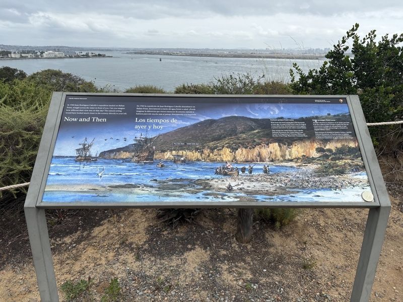
Photographed by Connor Olson, March 31, 2026
1. Now and Then Marker
Caption: Partners protect Point Loma What keeps this land looking like it did thousands of years ago? It is part of the Point Loma Ecological Conservation Area. Several partners work together to protect and restore its rare native coastal habitat. They include the United States Navy, Cabrillo National Monument, the United States Coast Guard, the Department of Veterans Affairs, and the City of San Diego Wastewater Treatment Plant.
Erected by National Park Service, U.S. Department of Interior.
Topics. This historical marker is listed in this topic list: Exploration. A significant historical year for this entry is 1542.
Location. 32° 40.488′ N, 117° 14.231′ W. Marker is in San Diego, California, in San Diego County. It is in Point Loma. It is on Bayside Trail. Touch for map. Marker is at or near this postal address: 1800 Bayside Trail, San Diego CA 92106,
this page online

Regionally, this marker is in California’s Peninsular Ranges. It is also in the American Borderlands and on the Pacific Coast. Globally, it is in North America, on the Ring of Fire, on the Pacific Rim, in the Western Hemisphere, in the Western World, and in the Anglosphere. Historically, it finds itself in what was once New Spain and also Mexico’s Alta California.
Other nearby markers. At least 8 other markers are within walking distance of this marker: Why Portuguese and Spanish Plaques? (about 600 feet away, measured in a direct line); João Rodrigues Cabrilho 1542 (about 600 feet away); In Homage to the Spanish Expedition (about 700 feet away); Harbor and City (about 700 feet away); Landing of Cabríllo (about 700 feet away); Stephen Tyng Mather (about 800 feet away); Beyond Their Known World (approx. 0.2 miles away); Harbor Lights (approx. 0.2 miles away). Touch for a list and map of all markers in San Diego.
Another marker is no longer nearby. Cabrillo’s Ships (was approx. 0.2 miles away but has been reported to have been replaced with another marker now near
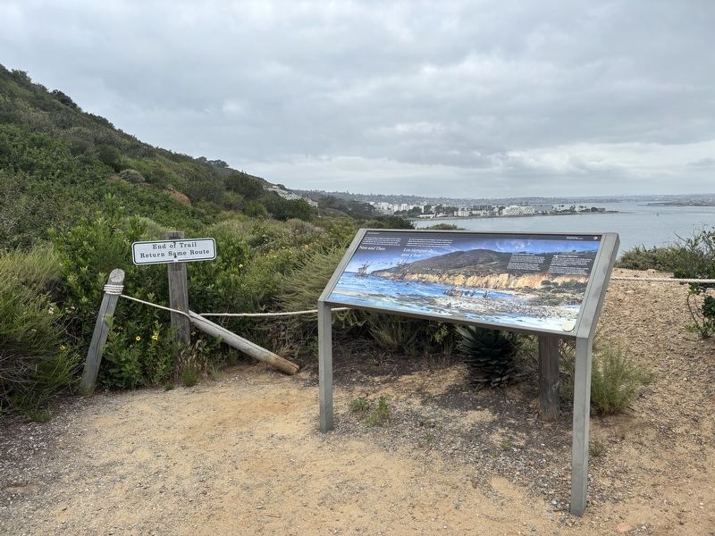
Photographed by Connor Olson, March 31, 2026
2. Now and Then Marker
Credits. This page was last revised on April 4, 2026. It was originally submitted on April 1, 2026, by Connor Olson of Menomonee Falls, Wisconsin. This page has been viewed 14 times since then. Photos: 1, 2. submitted on April 1, 2026, by Connor Olson of Menomonee Falls, Wisconsin. • Andrew Ruppenstein was the editor who published this page.
