
Boron in Kern County, California — The American West (Pacific Coastal)
Miner's Cabin

Photographed by Denise Boose, April 4, 2026
1. Miner's Cabin Marker
This type of housing was used until the early 1960’s when the company, now U.S. Borax, ended the policy of providing housing because Boron was an established town. We have restored the cabin to show what it might have looked like when occupied.
Erected 2026 by U.S. Borax Museum.
Topics. This historical marker is listed in this topic list: Industry & Commerce. A significant historical year for this entry is 1929.
Location. 35° 1.783′ N, 117° 41.2′ W. Marker is in Boron, California, in Kern County. It is on Borax Road, on the left when traveling north. Located to the left of the U.S. Borax Visitor Center. Touch for map. Marker is at or near this postal address: 14486 Borax Road, Boron CA 93516, United States of America. Touch for directions.

Regionally, this marker is in California’s San Joaquin Valley, specifically in the Central Valley, in the Mojave Desert, and in
this page online
Other nearby markers. At least 8 other markers are within 13 miles of this marker, measured as the crow flies: Twenty-Mule Team Borax Wagon (here, next to this marker); Twenty Mule Team (about 300 feet away, measured in a direct line); Borax (approx. 2½ miles away); Florence Lowe “Pancho” Barnes (approx. 2.9 miles away); Twenty-Mule Teams (approx. 2.9 miles away); a different marker also named Miner's Cabin (approx. 3 miles away); Rocket Site (approx. 7 miles away); F-8 Supercritical Wing Aircraft (approx. 12.6 miles away). Touch for a list and map of all markers in Boron.

Photographed by Denise Boose, April 4, 2026
2. Miner's Cabin and Marker
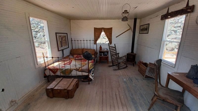
Photographed by Denise Boose, April 4, 2026
3. Miner's Cabin
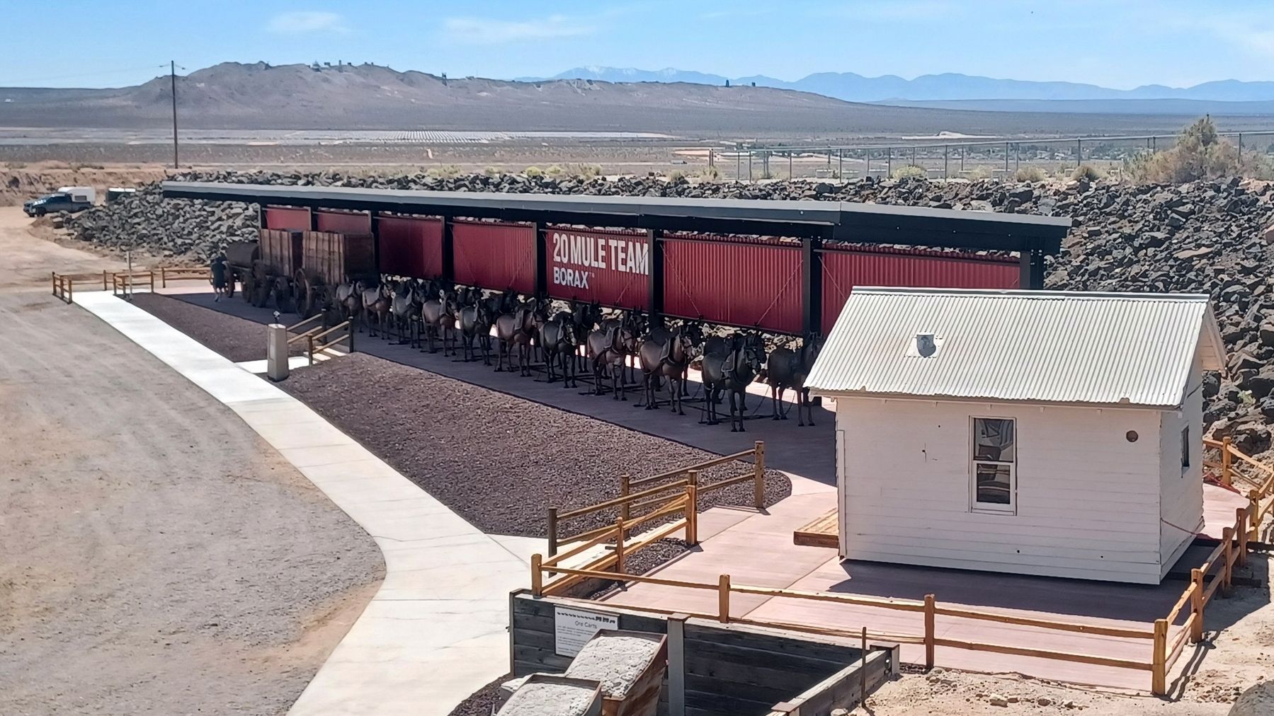
Photographed by Denise Boose, April 4, 2026
4. Miner's Cabin
Credits. This page was last revised on April 5, 2026. It was originally submitted on April 4, 2026, by Denise Boose of Tehachapi, California. This page has been viewed 21 times since then. Photos: 1, 2, 3, 4. submitted on April 4, 2026, by Denise Boose of Tehachapi, California. • Andrew Ruppenstein was the editor who published this page.
