Indian Head in Charles County, Maryland — The American Northeast (Mid-Atlantic)
The Village of Pomonkey
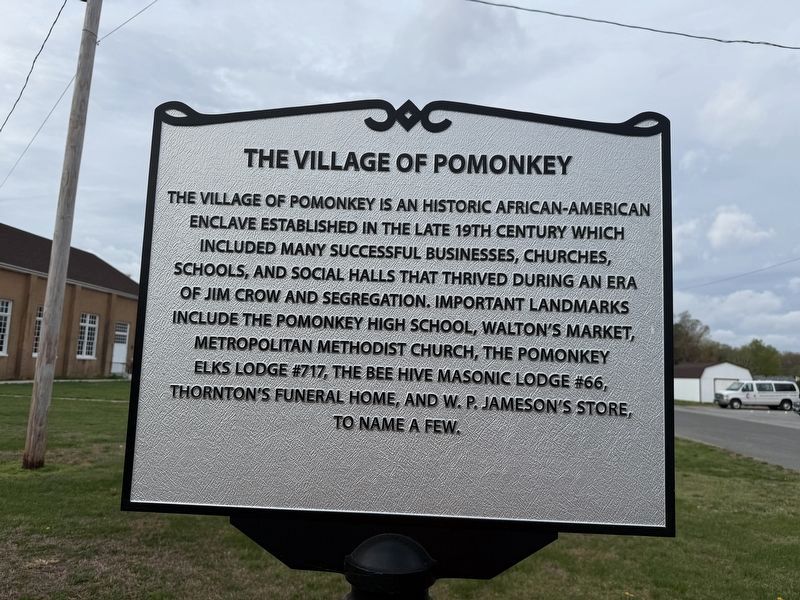
The village of Pomonkey is an historic African-American enclave established in the late 19th century which included many successful businesses, churches, schools, and social halls that thrived during an era of Jim Crow and segregation. Important landmarks include the Pomonkey High School, Walton's Market, Metropolitan Methodist Church, the Pomonkey Elks Lodge #717, the Bee Hive Masonic Lodge #66, Thornton's Funeral Home, and W. P. Jameson's Store, to name a few.
Erected by Charles County, Maryland.
Topics. This historical marker is listed in these topic lists: African Americans • Industry & Commerce • Religion & Religious Structures • Settlements & Settlers.
Location. 38° 37.137′ N, 77° 4.579′ W. Marker is in Indian Head, Maryland, in Charles County. It is on Metropolitan Church Road. Touch for map. Marker is at or near this postal address: 3395 Metropolitan Church Rd, Indian Head MD 20640, United States of America. Touch for directions.

Regionally, this marker is in the Washington Metropolitan Area and in Southern Maryland. It is also in the
this page online
Other nearby markers. At least 8 other markers are within 5 miles of this marker, measured as the crow flies: Pomonkey High School (here, next to this marker); The Story (approx. 2.8 miles away); "Eutaw" (approx. 2.9 miles away); Araby (approx. 3.4 miles away); Saint Charles of Cornwallis Neck (approx. 3.4 miles away); Church of St. Joseph (approx. 3.7 miles away); First People of the Potomac (approx. 4.2 miles away); First Alarm System (approx. 4½ miles away). Touch for a list and map of all markers in Indian Head.
Photographed by Devry Becker Jones (CC0), April 5, 2026
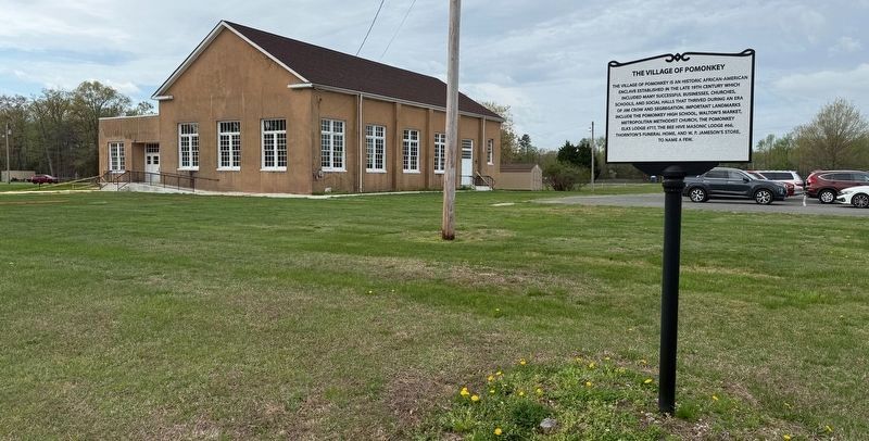
2. The Village of Pomonkey Marker with Pomonkey High School in the background
Credits. This page was last revised on April 6, 2026. It was originally submitted on April 5, 2026, by Devry Becker Jones of Washington, District of Columbia. This page has been viewed 36 times since then. Photos: 1, 2. submitted on April 5, 2026, by Devry Becker Jones of Washington, District of Columbia.
