Northwest Carmel in Carmel-by-the-Sea in Monterey County, California — The American West (Pacific Coastal)
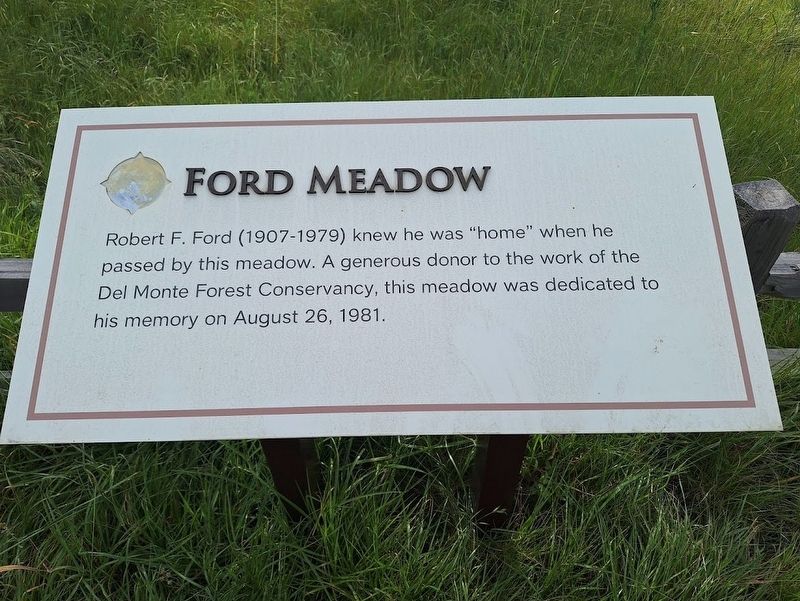
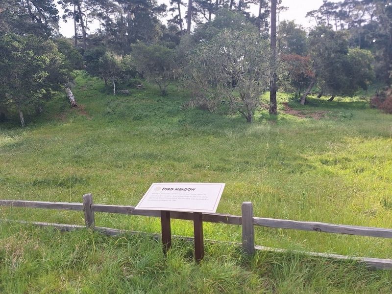
Ford Meadow
Photographed by Jason Voigt, March 27, 2026
1. Ford Meadow Marker
Robert F. Ford (1907-1979) knew he was "home" when he passed by this meadow. A generous donor to the work of the Del Monte Forest Conservancy, this meadow was dedicated to his memory on August 26, 1981.
Topics. This historical marker is listed in this topic list: Charity & Public Work. A significant historical date for this entry is August 26, 1981.
Location. 36° 34.101′ N, 121° 55.311′ W. Marker is in Carmel-by-the-Sea, California, in Monterey County. It is in Northwest Carmel. It is on 17 Mile Drive south of Del Ciervo Road, on the left when traveling west. Touch for map. Marker is at or near this postal address: 3788 17 Mile Dr, Carmel CA 93923, United States of America. Touch for directions.

Regionally, this marker is on the Central Coast and specifically on the Coast Ranges. It is also on the American Pacific Coast. Globally, it is in North America, on the Ring of Fire, on the Pacific Rim, in the Western Hemisphere, in the Western World, and in the Anglosphere. Historically, it finds itself in what was once New Spain and also Mexico’s Alta California.
Other nearby markers. At least 8 other markers are within 2
this page online
Regarding Ford Meadow. Besides the information on the marker, very little is known about Robert Freeman Ford. He is buried at Forest Lawn Memorial Park in Glendale, California.
Marker is only accessible on the 17-Mile Drive, which is a toll road for visitors/non-residents. The road is a scenic route located in Pebble Beach and Pacific Grove, along with five primary entrances. There are 15 notable stops that people are encouraged to visit while driving on it. All 15 of them are identified by number (in the brochure guide provided on the route), as this is stop #17. Some of the stops have markers that have the same text from the brochure,
Photographed by Jason Voigt, March 27, 2026
2. Ford Meadow Marker
Also see . . . 17-Mile Drive. From the community of Pebble Beach, California's official website (Submitted on April 5, 2026, by Jason Voigt of Glen Carbon, Illinois.)
Credits. This page was last revised on April 5, 2026. It was originally submitted on April 5, 2026, by Jason Voigt of Glen Carbon, Illinois. This page has been viewed 29 times since then. Photos: 1, 2. submitted on April 5, 2026, by Jason Voigt of Glen Carbon, Illinois.
