Hayti in Pemiscot County, Missouri — The American Midwest (Upper Plains)
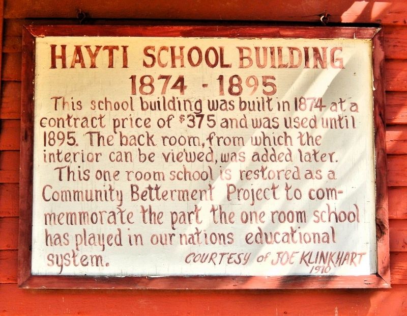
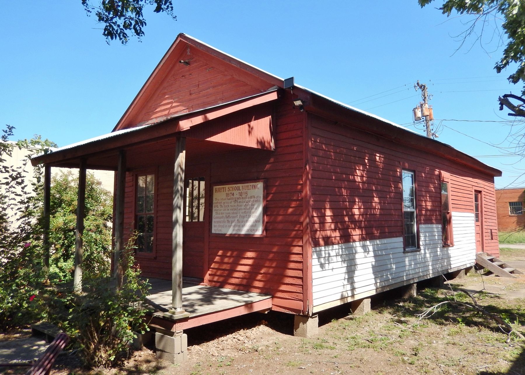
Hayti School Building
1874-1895
Photographed by Cosmos Mariner, September 28, 2025
1. Hayti School Building Marker
This school building was built in 1874 at a contract price of $375 and was used until 1895. The back room, from which the interior can be viewed, was added later.
This one room school is restored as a Community Betterment Project to commemorate the part the one room school has played in our nations educational system.
Erected 1970 by Joe Klinkhart.
Topics. This historical marker is listed in these topic lists: Architecture • Education. A significant historical year for this entry is 1874.
Location. 36° 13.884′ N, 89° 44.86′ W. Marker is in Hayti, Missouri, in Pemiscot County. It is on South 4th Street just north of East Broadway Street, on the right when traveling north. The marker is on the west/front facade of the historic schoolhouse. Touch for map. Marker is at or near this postal address: 324 South 4th Street, Hayti MO 63851, United States of America. Touch for directions.

Regionally, this marker is in the Missouri Bootheel. It is also in the American Midwest, in the Mississippi Delta, in the Lewis & Clark Corridor, in the Corn Belt, and in the Great River Road Region. Globally, it is in North America,
this page online
Other nearby markers. At least 7 other markers are within 9 miles of this marker, measured as the crow flies: American Legion Post 88 Memorial Park (approx. 5.2 miles away); General John M. Riggs (approx. 5.7 miles away); Lt. Col. John B. England (approx. 5.7 miles away); Pemiscot County (approx. 5.8 miles away); Caruthersville (approx. 5.8 miles away); Sterling Price Reynolds (approx. 5.9 miles away); Deering (approx. 8.2 miles away).
Photographed by Cosmos Mariner, September 28, 2025
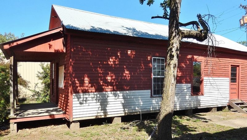
2. Hayti School Building (south elevation)
Photographed by Cosmos Mariner, September 28, 2025
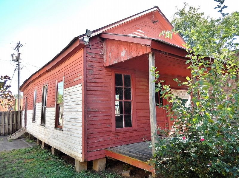
3. Hayti School Building (northwest elevation)
Photographed by Cosmos Mariner, September 28, 2025
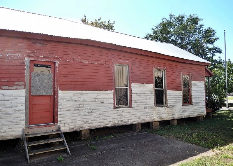
4. Hayti School Building (northeast elevation)
Photographed by Cosmos Mariner, September 28, 2025
5. Hayti School Building & Marker (southwest elevation)
Credits. This page was last revised on April 7, 2026. It was originally submitted on April 6, 2026, by Cosmos Mariner of Cape Canaveral, Florida. This page has been viewed 23 times since then. Photos: 1, 2, 3, 4, 5. submitted on April 7, 2026, by Cosmos Mariner of Cape Canaveral, Florida.
