Mableton in Cobb County, Georgia — The American South (South Atlantic)
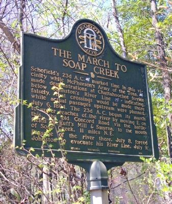
The March to Soap Creek
July 6, 1864. The 23d A. C. began its march to upper reaches of the river by moving E. on this, the old Concord Road via the battlefields of Ruff’s Mill & Smyrna, to the mouth of Soap Creek, 11 miles N. E.
Passage of the river there, July 8, forced Johnston to evacuate his River Line, July 9.
Erected 1954 by Georgia Historical Commission. (Marker Number 033-73.)
Topics and series. This historical marker is listed in this topic list: War, US Civil. In addition, it is included in the Georgia Historical Society series list. A significant historical month for this entry is July 1802.
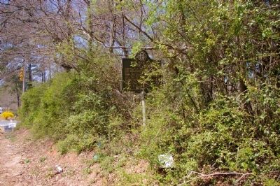
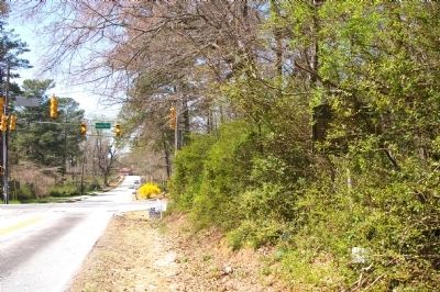
Location. 33° 50.693′ N, 84° 34.702′ W. Marker is in Mableton, Georgia, in Cobb County. Marker is at the intersection of Concord Road and Hicks Road, on the right when traveling west on Concord Road. Touch for map. Marker is in this post office area: Mableton GA 30126, United States of America. Touch for directions.
Other nearby markers. At least 8 other markers are within 2 miles of this marker, measured as the crow flies. The Extended Right (within shouting distance of this marker); Site: Wm. Moss House (approx. 0.2 miles away); “The Only Advantage of the Day” (approx. Ľ mile away); Concord Covered Bridge (approx. 1.2 miles away); Battle of Ruff's Mill (approx. 1.2 miles away); Sweet Potato House (approx. 1.2 miles away); Well (approx. 1.2 miles away); Blacksmith Shop (approx. 1.2 miles away). Touch for a list and map of all markers in Mableton.
Credits. This page was last revised on June 16, 2016. It was originally submitted on April 11, 2010, by David Seibert of Sandy Springs, Georgia. This page has been viewed 1,150 times since then and 44 times this year. Photos: 1, 2, 3, 4. submitted on April 11, 2010, by David Seibert of Sandy Springs, Georgia. • Craig Swain was the editor who published this page.


