
Caistorville in Niagara Region, Ontario — Central Canada (North America)
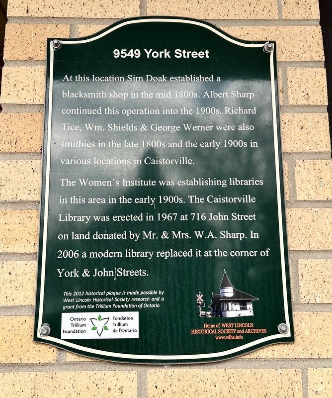
9549 York Street
Photographed by Tim Boyd, April 6, 2026
1. 9549 York Street Marker
The Women's Institute was establishing libraries in this area in the early 1900s. The Caistorville Library was erected in 1967 at 716 John Street on land donated by Mr. & Mrs. W.A. Sharp. In 2006 a modern library replaced it at the corner of York & John Streets.
Erected 2012 by West Lincoln Historical Society.
Topics. This historical marker is listed in these topic lists: Education • Industry & Commerce. A significant historical year for this entry is 1967.
Location. 43° 3.043′ N, 79° 42.992′ W. Marker is in Caistorville, Ontario, in Niagara Region. It is at the intersection of York Street and John Street, on the right when traveling west on York Street. Touch for map. Marker is at or near this postal address: 9549 York Street, Caistorville ON N0A 1C0, Canada. Touch for directions.

Regionally, this marker is on Ontario’s Golden Horseshoe
this page online
Other nearby markers. At least 8 other markers are within 16 kilometers of this marker, measured as the crow flies: The Underground Railroad (approx. 8.6 kilometers away); The Youngs (approx. 13.8 kilometers away); The Nelles Settlement (approx. 14.4 kilometers away); Barber Hotel of York (1862) (approx. 14.5 kilometers away); The Davis, Martindale Flour and Grist Mill of York (approx. 14.6 kilometers away); Edward Griffin (approx. 14.8 kilometers away); Smithville Train Station (approx. 15.1 kilometers away); Smoke Box Cover (approx. 15.1 kilometers away).
Photographed by Tim Boyd, April 6, 2026
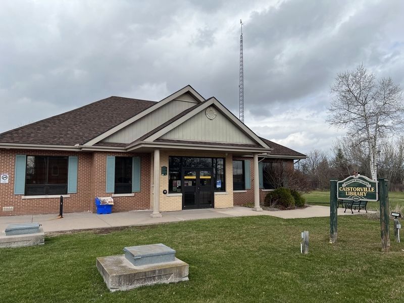
2. 9549 York Street Marker
On the left of the library entrance
Photographed by Tim Boyd, April 6, 2028
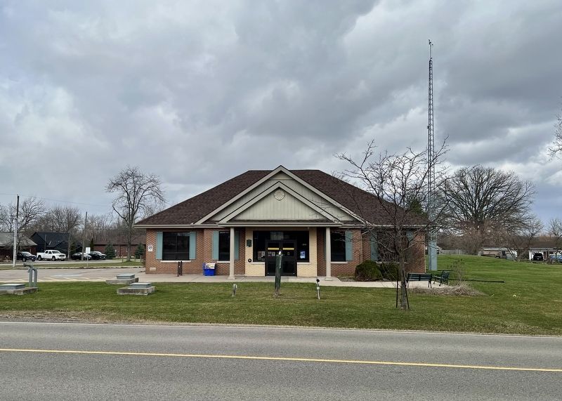
3. 9549 York Street Marker
On the left of the library entrance
Credits. This page was last revised on April 11, 2026. It was originally submitted on April 8, 2026, by Tim Boyd of Hamilton, Ontario. This page has been viewed 18 times since then. Photos: 1, 2, 3. submitted on April 8, 2026, by Tim Boyd of Hamilton, Ontario. • Andrew Ruppenstein was the editor who published this page.
