Uniontown in Perry County, Alabama — The American South (East South Central)
First Colored Missionary Baptist Church
Perry County
Photographed by Jimmy Emerson, April 8, 2026
1. First Colored Missionary Baptist Church Marker
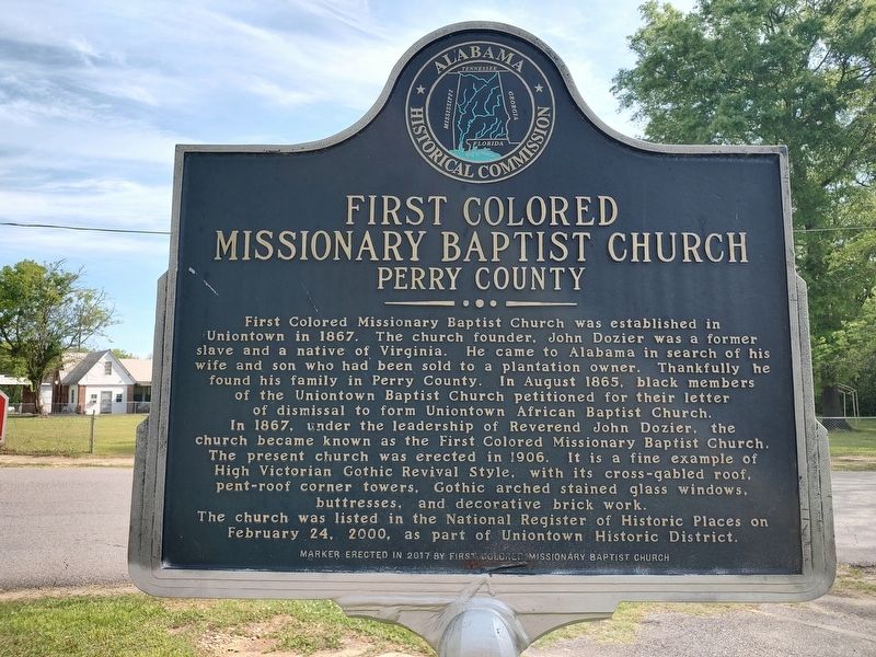
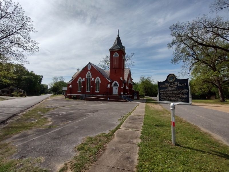
First Colored Missionary Baptist Church was established in Uniontown in 1867. The church founder, John Dozier was a former slave and a native of Virginia. He came to Alabama in search of his wife and son who had been sold to a plantation owner. Thankfully he found his family in Perry County. In August 1865, black members of the Uniontown Baptist Church petitioned for their letter of dismissal to form Uniontown African Baptist Church. In 1867, under the leadership of Reverend John Dozier, the church became known as the First Colored Missionary Baptist Church. The present church was erected in 1906. It is a fine example of High Victorian Gothic Revival Style, with its cross-gabled roof, pent-roof corner towers. Gothic arched stained glass windows, buttresses, and decorative brick work. The church was listed in the National Register of Historic Places on February 24, 2000, as part of Uniontown Historic District.
Erected 2017 by First Colored Missionary Baptist Church & AHC.
Topics. This historical marker is listed in these topic lists: African Americans • Architecture • Industry & Commerce • Religion & Religious Structures. A significant historical year for this entry is 1906.
Location. 32° 26.899′ N,
this page online

Regionally, this marker is in the American South, specifically in the Deep South, and in the Black Belt. Globally, it is in North America, a Gulf of Mexico state, the Western Hemisphere, the Western World, and the Anglosphere. Historically, it finds itself in what was once New Spain, the territory of the Mississippian Culture, one of the Confederate States of America, and the Antebellum South.
Other nearby markers. At least 8 other markers are within 11 miles of this marker, measured as the crow flies: Church of the Holy Cross (approx. 0.4 miles away); Green Gables (approx. 0.6 miles away); New Hope Cemetery (approx. 3.2 miles away); St. Michael's Cemetery (approx. 5.7 miles away); St. Michael's Episcopal Churchyard (approx. 5.8 miles away); Paulling Place Cemetery (approx. 6.1
Photographed by Jimmy Emerson, April 8, 2026
2. First Colored Missionary Baptist Church & Marker
Additional keywords. human trafficking
Credits. This page was last revised on April 8, 2026. It was originally submitted on April 8, 2026, by Jimmy Emerson of Dalton, Georgia. This page has been viewed 20 times since then. Photos: 1, 2. submitted on April 8, 2026, by Jimmy Emerson of Dalton, Georgia. • Devry Becker Jones was the editor who published this page.
