Columbus in Colorado County, Texas — The American South (West South Central)
Site of the Camp of Gen. Joaquín Ramírez y Sesma
Inscription.
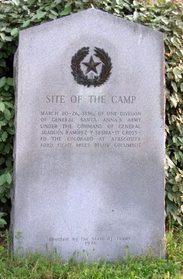
Site of the Camp, March 20-26, 1836, of one division of General Santa Anna's Army under the command of General Joaquín Ramírez y Sesma. It crossed the Colorado at Atascosita Ford, eight miles below Columbus.
Erected 1936 by State of Texas Highway Department. (Marker Number 4923.)
Topics and series. This historical marker is listed in this topic list: War, Texas Independence. In addition, it is included in the Texas 1936 Centennial Markers and Monuments series list. A significant historical month for this entry is March 1875.
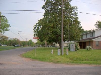
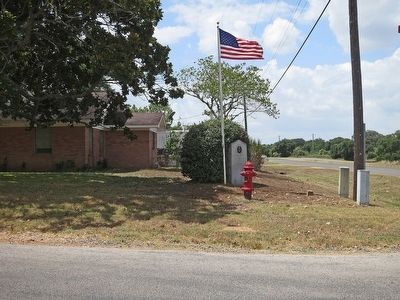
Location. 29° 42.336′ N, 96° 33.62′ W. Marker is in Columbus, Texas, in Colorado County. Marker is at the intersection of Veterans Drive (Old U.S. 90) and Milentz Street, on the right when traveling east on Veterans Drive (Old U.S. 90). Touch for map. Marker is in this post office area: Columbus TX 78934, United States of America. Touch for directions.
Other nearby markers. At least 8 other markers are within walking distance of this marker. The Rev. Jacob Scherer (about 400 feet away, measured in a direct line); Colonel Joseph Worthington Elliott Wallace (approx. 0.4 miles away); Walk of Honor (approx. 0.4 miles away); American Legion Memorial (approx. 0.4 miles away); Columbus Odd Fellows Rest Cemetery (approx. 0.4 miles away); Columbus' Old City Cemetery (approx. half a mile away); Hebrew Benevolence Society Cemetery (approx. half a mile away); Columbus Oak (approx. half a mile away). Touch for a list and map of all markers in Columbus.
More about this marker. On access road uphill and to the south of main Highway U.S. 90 (Walnut Street).
Credits. This page was last revised on October 20, 2021. It was originally submitted on April 11, 2010, by Gregory Walker of La Grange, Texas. This page has been viewed 3,432 times since then and 186 times this year. Photos: 1. submitted on April 11, 2010, by Gregory Walker of La Grange, Texas. 2. submitted on April 18, 2010, by Gregory Walker of La Grange, Texas. 3. submitted on September 6, 2014, by Jim Evans of Houston, Texas. • Bill Pfingsten was the editor who published this page.


